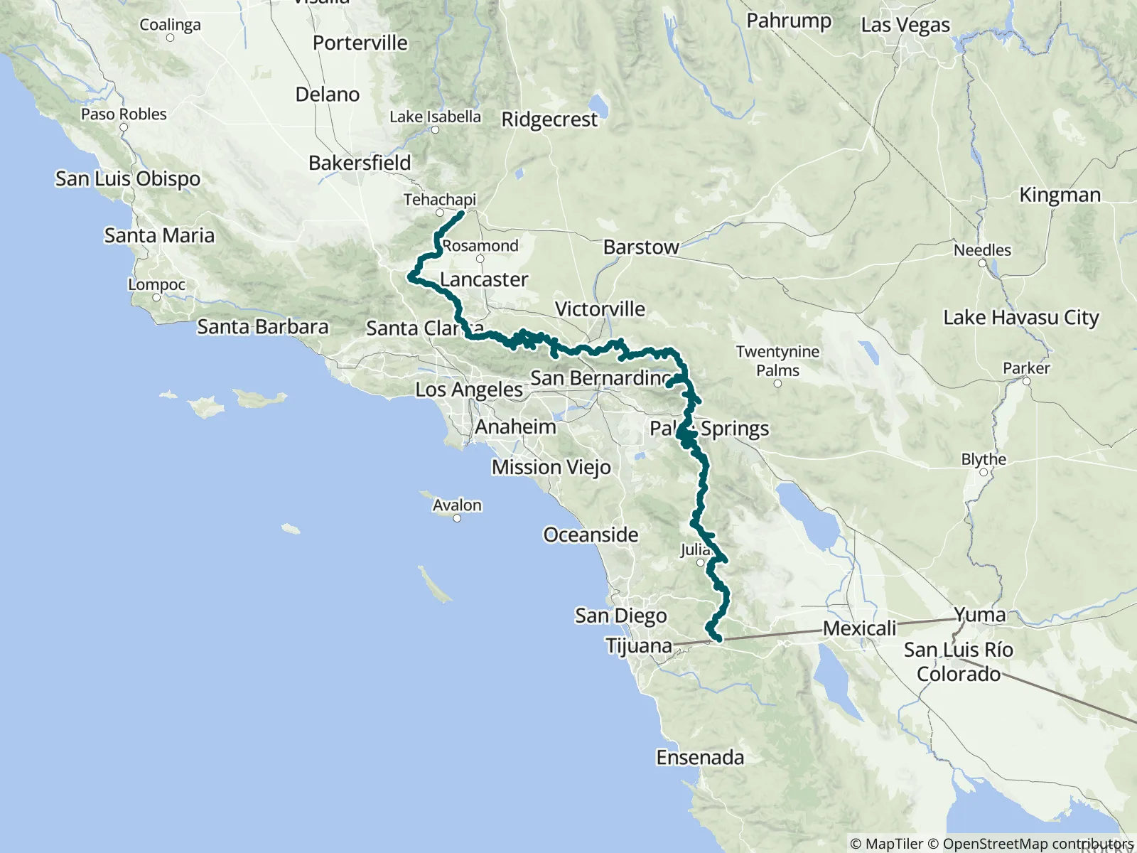
This FarOut guide covers the 566.5-mile Southern California portion of the Pacific Crest Trail, Sections A to E from the Mexican border near Campo to the Tehachapi–Mojave desert, part 1 of FarOut's five-part PCT guide. It holds more than 1,100 waypoints, water sources included, and over 150 access and side trails, among them San Jacinto Peak and Mount Baden-Powell. FarOut has published the PCT since 2012 and works informally with the agencies along it to keep the guide current.
“No water left”
“Good flow”
“12 bottles left (6L) under the great beautiful big white wooden umbrella.”
“Flowing”
“Uhhh flowing so well after the storm that I couldn’t find a dry way to cross, ended up just fording it”
“9 gallons of water in jugs are cached at intersection so no need to walk this far off trail currently. Thanks TAs”
“Pipe with stick was flowing but water was murky even on the second liter, clear from the boxed pool above it which is currently full.”
“Great flow along here, edges are starting to freeze though.”
“Not very much water left in cache. Maybe a cup or two”
“No water in cache”