400 miles • Bay Area, California
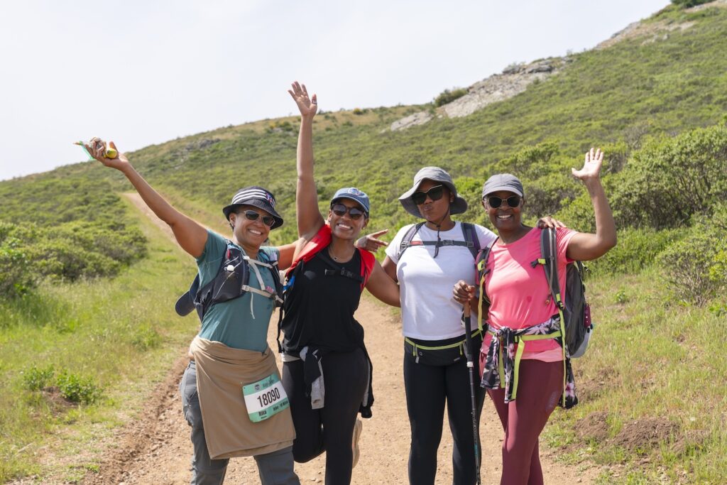
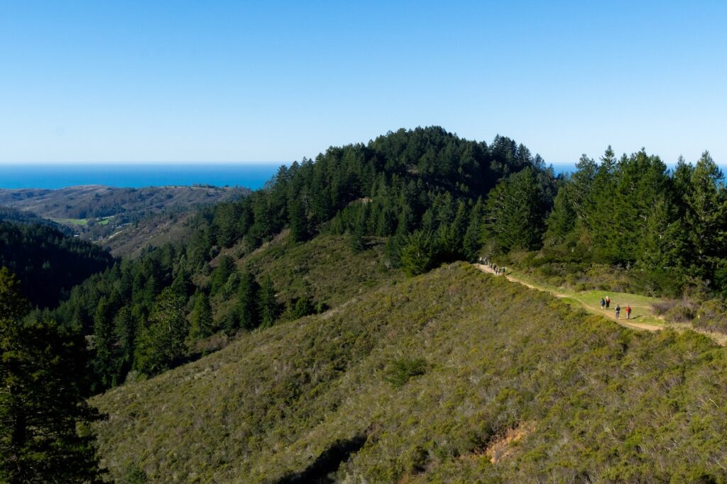
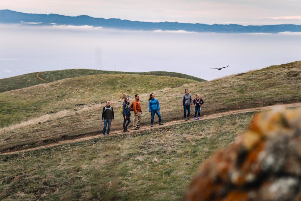
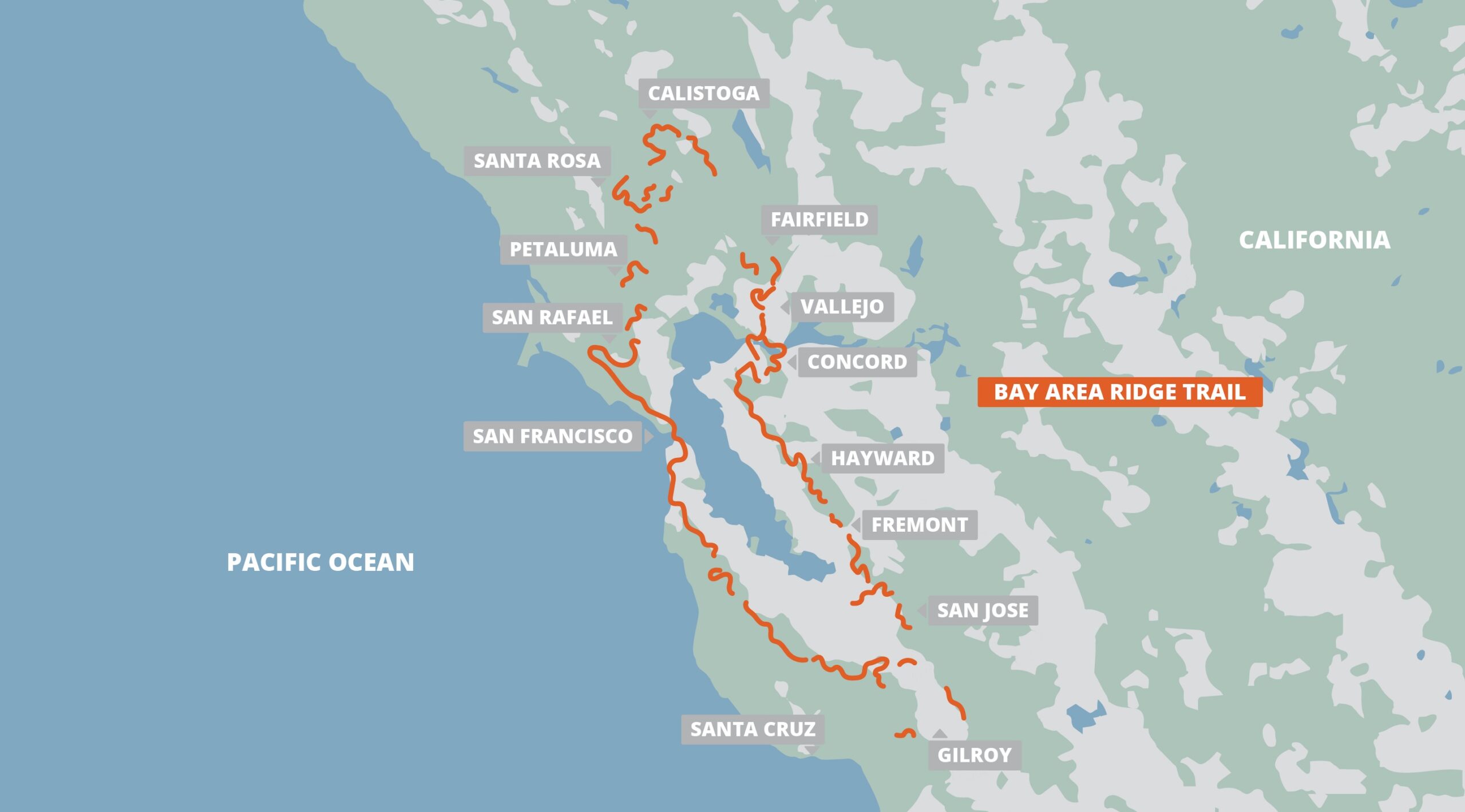
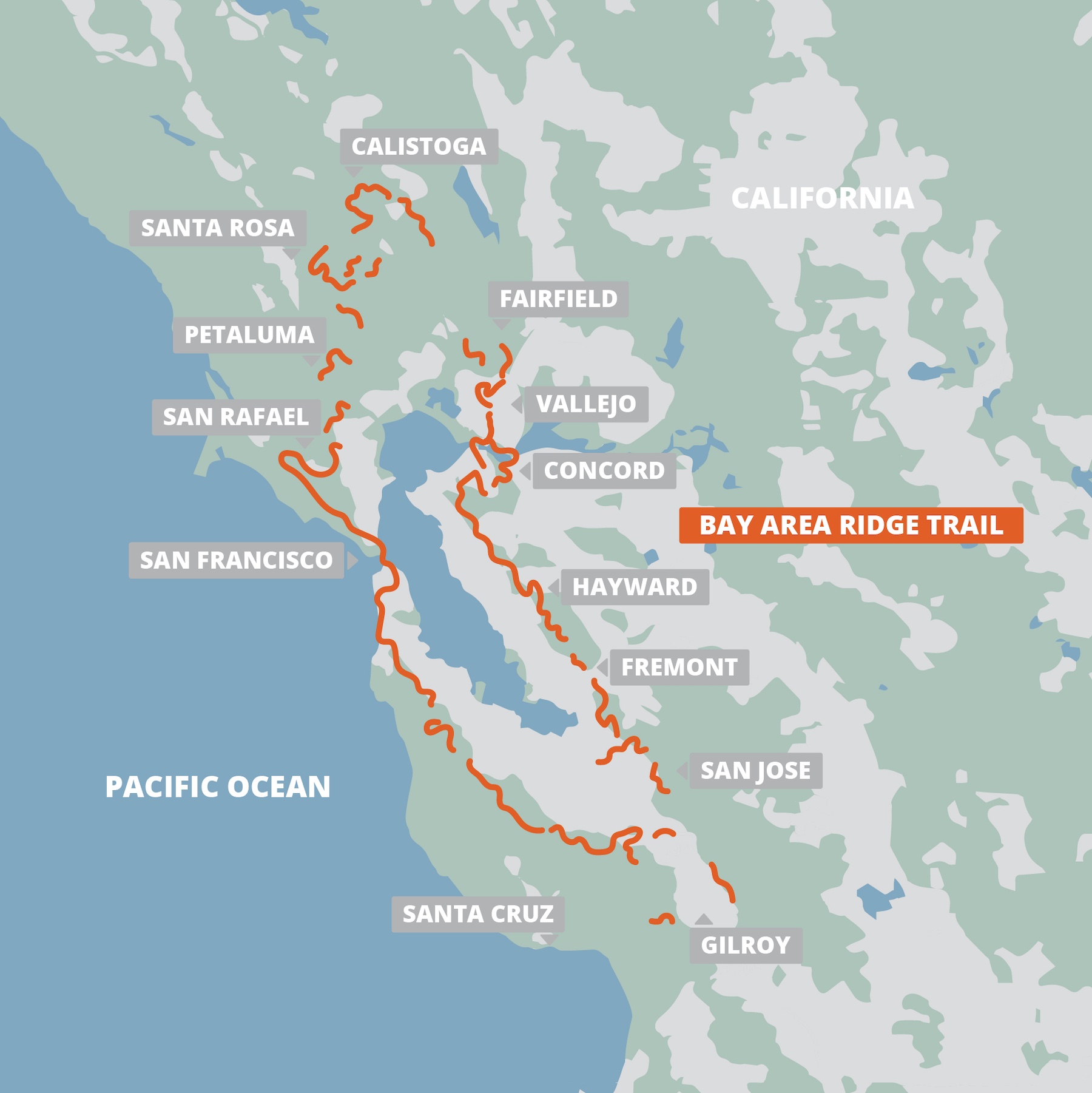
The Bay Area Ridge Trail traces the scenic ridgelines encircling San Francisco Bay, providing endless opportunities for everyday excursions and epic adventures. With over 400 miles currently open for hiking, running, cycling, and horseback riding, the Ridge Trail traverses a stunningly diverse range of landscapes. Once finished, this 550-mile continuous loop will link more than 145 parks and open spaces across all nine Bay Area counties.
$29.99
400 miles • Bay Area, California
The Bay Area Ridge Trail traces the scenic ridgelines encircling San Francisco Bay, providing endless opportunities for everyday excursions and epic adventures. With over 400 miles currently open for hiking, running, cycling, and horseback riding, the Ridge Trail traverses a stunningly diverse range of landscapes. Once finished, this 550-mile continuous loop will link more than 145 parks and open spaces across all nine Bay Area counties.
$29.99

Buy Once, Works Everywhere

Works Offline

Trusted Trail Data

Detailed Waypoints

Built for Community

Tailored to You




Included in purchase
The Bay Area Ridge Trail traces the scenic ridgelines encircling San Francisco Bay, providing endless opportunities for everyday excursions and epic adventures. With over 400 miles currently open for hiking, running, cycling, and horseback riding, the Ridge Trail traverses a stunningly diverse range of landscapes. Once finished, this 550-mile continuous loop will link more than 145 parks and open spaces across all nine Bay Area counties.
$29.99
About Our Partner
The Bay Area Ridge Trail Council is a 501(c)3 nonprofit dedicated to the planning, promotion, and long-term preservation of the Ridge Trail. In partnership with public agencies, private landowners, and community organizations, the Council is closing the remaining gaps and expanding access to this world-class trail, ensuring it remains a protected regional treasure for generations to come.