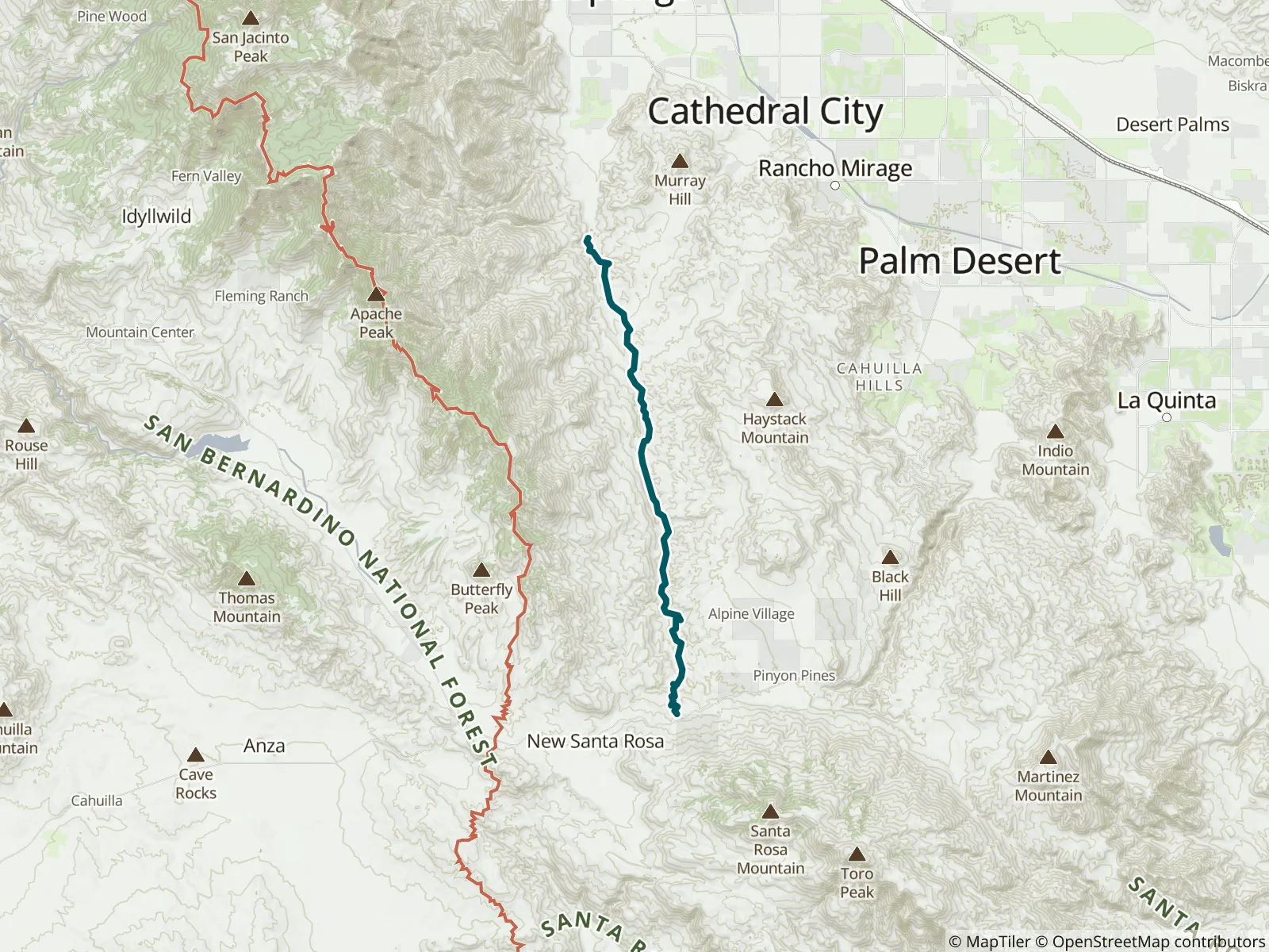
Palm oasis and desert: a 14.5-mile point-to-point with 100'/3,500' of elevation gain, rated strenuous; allow 7 hours. This is Hike No. 56 in the Wilderness Press guidebook 101 Hikes in Southern California: Exploring Mountains, Seashore, and Desert by David Harris. FarOut publishes it in partnership with AdventureKEEN.
Highlights: Palm oasis and desert
Distance & Configuration: 14.5-mile point-to-point
Elevation Gain/Loss: 100'/3,500'
Hiking Time: 7 hours
Best Times: October–March
Agency: Agua Caliente Band of Cahuilla Indians
Difficulty: Strenuous
Trail Use: Suitable for backpacking
Permit: Indian Canyons entry fee
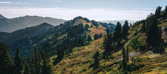
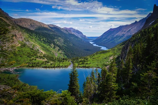
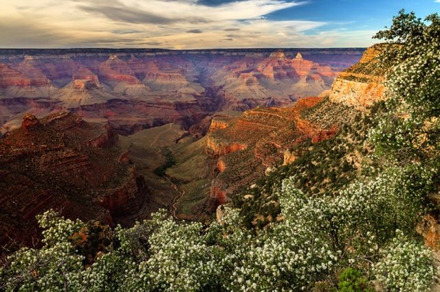
Palm Canyon should be on every serious Southern California hiker’s to-do list. The canyon separates the San Jacinto Mountains and Desert Divide on the west from the Santa Rosa Mountains on the east and offers magnificent scenery in all directions. As it descends from the pinyon pines of the mountains to the cacti of the desert, it takes you past most of the Seussian plant life of the Upper and Lower Sonoran zones. The enormous palm oasis at the north end (bottom) of the trail is a fitting conclusion to a long but rewarding day. Those looking for a more casual hike suitable for children will enjoy roaming the oasis from the trailhead at Hermits Bench.
This hike presents a couple of logistical challenges. The northern trailhead at Hermits Bench is only open 8 a.m.–5 p.m. If you are not out before the gates close, the rangers will initiate a search. The drive between trailheads takes about 45 minutes, so if you leave a vehicle at Hermits Bench when it opens, drive to the upper trailhead, and begin walking at 9 a.m., you will have at most 8 hours to complete the 15-mile trek. Some prefer to do the trip as an overnight backpack, with a trusted friend handling the drop-off and pickup. Note that camping is prohibited on the reservation land comprising the northern half of the canyon (beginning about 2 miles north of Agua Bonita Spring).