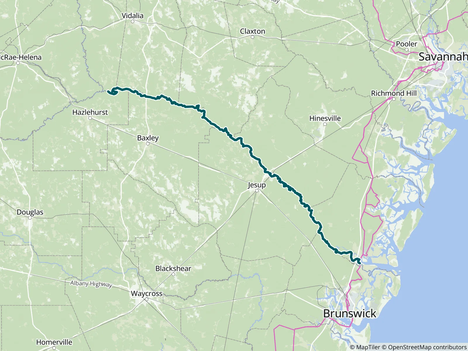
Georgia's mighty Altamaha, formed by the Ocmulgee and Oconee, drains 24% of the state through an exceptionally wide floodplain forest that deters development and cradles diverse native habitat. This guide is found in Part 6 in the Menasha Ridge Press guidebook Canoeing & Kayaking Georgia by Suzanne Welander and Bob Sehlinger. FarOut publishes it in partnership with AdventureKEEN.
28 waypoints, such as campsites, and towns and amenities
120 mi of trail covered (including side trails)
Offline maps
Elevation profile
Custom route creation
Custom waypoint creation
About the Altamaha River
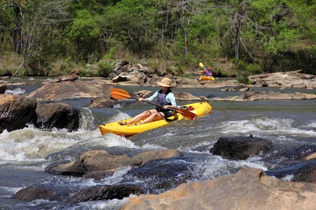
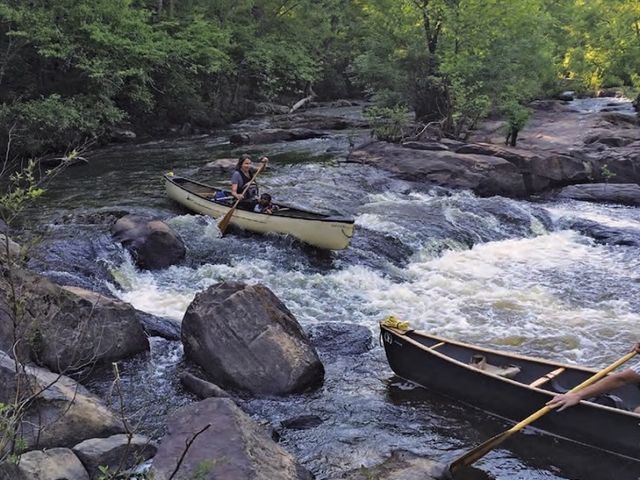
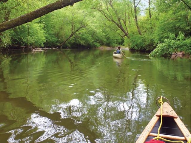
Nowhere is the adjective mighty more apt than in describing Georgia’s Altamaha River. It starts with the merging of two already-large rivers—the Ocmulgee and the Oconee—that collide with each other to form the Altamaha. Including these rivers’ watersheds, the Altamaha drains a huge portion of Georgia’s surface area—14,000 square miles, 24% of the state. At the tailwaters, the river emits 100,000 gallons of freshwater into the Atlantic Ocean every second. Its estuary is one of the largest on the Atlantic coast. The size, breadth, and importance of this river system are staggering. The exceptionally wide floodplain forest around the river deters bridges, dams, and development. Instead, it cradles an exceptional, diverse habitat for native plants and animals—including fish species unique to this watershed. Coalitions of local, state, and national groups have cooperated in preserving more than 100,000 acres along the river . . . and counting.