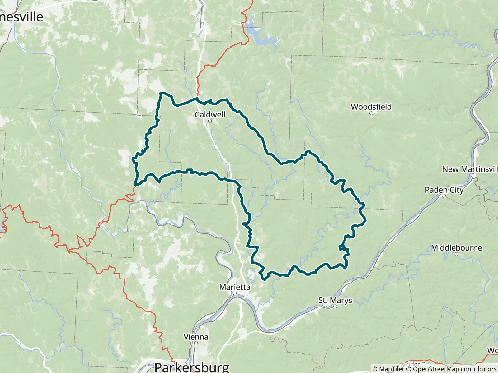
This 150.6-mile loop portion of the Buckeye Trail runs clockwise from Belle Valley south toward the Ohio River, then back north through Whipple and Hackney, covering the Road Fork and Whipple Sections and portions of the Stockport and Belle Valley Sections in the southeast portion of the trail. FarOut publishes this guide in partnership with the Buckeye Trail Association.

Throughout its history, the BTA has promoted the construction, maintenance, and use of a state-wide trail system within the State of Ohio. The main Buckeye Trail is supplemented with side trails, campsites, and other facilities, so that visitors can see some of the historical and beauty spots of the Buckeye State. The BTA maintains the Buckeye Trail primarily as a footpath, though certain portions are also designated for use by horsemen and other non-motorized users. Today, the Buckeye Trail Association is a large, strong body of volunteers who maintain and promote the trail. Under the eye of the BTA, the Buckeye Trail continues to change and improve as the BTA looks for ways to move road sections off the roads, and to upgrade those off-road sections to high quality trail. Buckeye Trail Association website All partners