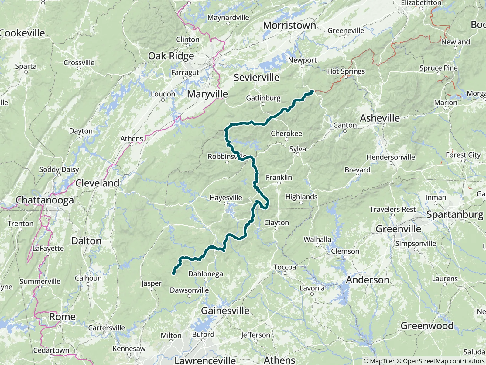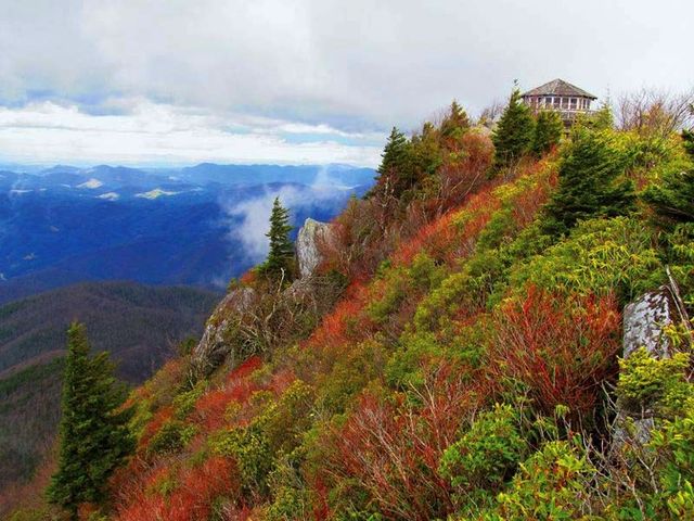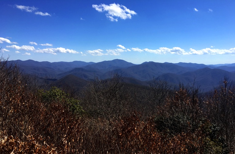
This guide covers the southernmost 241.8 miles of the Appalachian Trail, from the southern terminus at Springer Mountain, Georgia to the northern end of Great Smoky Mountains National Park, including Kuwohi, the trail's highest point. It is Part 1 of 9 of FarOut's A.T. guide, the Official Hiking App of the A.T., and can be bought on its own for a section hike.

Since 1925 the Appalachian Trail Conservancy has been leading the management and conservation of the Appalachian Trail and its landscape—a sanctuary from the modern world where nature thrives and people can connect with its transformative power. Each year, the A.T. landscape draws millions of visitors, serves as a critical wildlife corridor and refuge for thousands of diverse species, and plays a vital role in driving climate resilience and economic vitality in neighboring communities. Appalachian Trail Conservancy website All partners
“Flowing well. Cnoc-friendly!”
“what Wawa said. Not the blue blaze across from the shelter sign, but 20 yards south of the shelter sign. good but shallow flow there with deep sections to scoop from.”
“Light flow”
“Flowing well”
“Good water source. Moderate flow. Rhododendren spout.”
“10/10 water source rating!!! Cool place to chill, easy short side trail worth it!”
“Def one of the better shelters between here and the NOC. Nice shelter,bear box close to shelter, privy a short distance behind shelter via a level easy path, two nice tent sites directly behind shelter. Water source is good to go. I used…”
“Great heavy flow here”
“11/15/26 Scoop only and slow flow. Stream covered in ice and snow.”
“11/15/26 Flow is slow 4-5min per liter. Maybe recent snow will up this soon.”