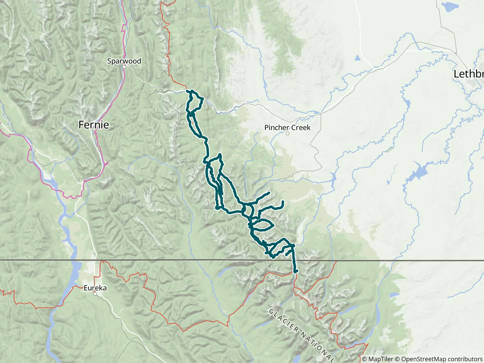
Section A of the Great Divide Trail is the southernmost 148 km of the trail, from the international border in Waterton Lakes National Park to the town of Coleman, with 20 side trails and alternate routes. FarOut publishes this guide in partnership with the Great Divide Trail Association.

The Great Divide Trail (GDT) Association is a Canadian nonprofit that is responsible for maintaining, promoting, and protecting the GDT. The GDT Association works with regional partners to coordinate trail improvements, maintenance and protection. It is dedicated to planning, designing, surveying, constructing and maintaining the GDT in the Rocky Mountains of Canada. The GDT Association’s goal is to obtain formal recognition and protection of the Great Divide Trail Corridor. They promote and encourage the use of the Great Divide Trail in a manner consistent with the conservation and preservation of the trail. Great Divide Trail Association website All partners
“Lots of sheltered sites on the east side of Southfork lakes”
“After Lynx Creek, I was unable to find a usable water source until I reached Haven’s Bridge (almost 20 km).”
“The site seems decent enough, we could not find any water here. A longer look may have surfaced something, but water is no longer a guarantee at Scarpe.”
“It's much quieter over in the walk in area (H). Some of the sites are in the open, but there is a group clustered around the trees. Try 9, 10, 11 or 27 as first choice or 23, 24 or 30 after that. It is a longer walk to town, but close enou…”
“Campground was on a small trail left of the GDT trail. One of our favourites! Beautiful lake views, nice pit toilet & bear lockers.”
“Flowing nicely 20m downstream. A little grass climbing required.”
“If you walk into Townsite campground with no reservation, they *may* be able to accommodate you in one of the two “overflow sites”, 49 or 50, after 5 pm. Gravel patch, still $19 CAD, but much nicer than a $350 hotel room or needing to wal…”
“Flowing clear and cold a little upstream of the trail.”
“Good flow”
“Stream is dry where the trail crosses the stream bed. But if you go upstream about 100m it’s still flowing about 1L per 2-3 minutes”