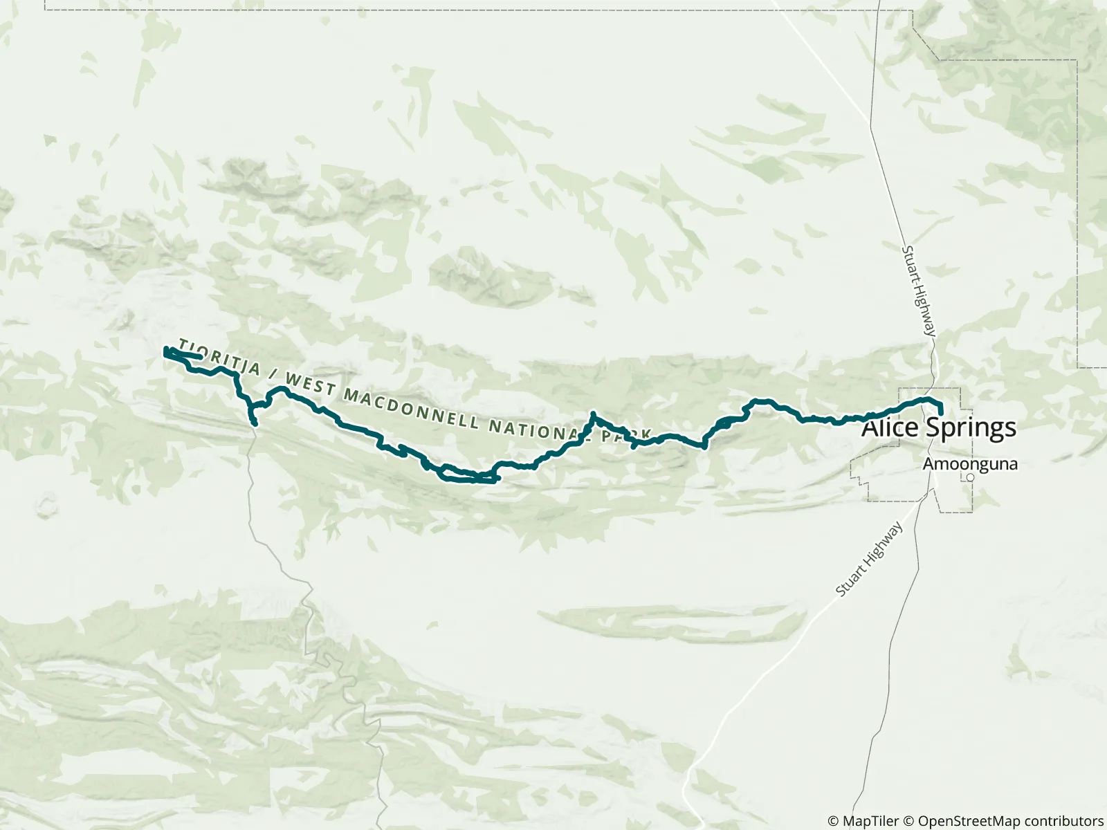
The Larapinta Trail, in the heart of Central Australia, runs 231 km along the spine of the West MacDonnell Ranges covering some of the most spectacular ranges and gorges within the vast Australian outback desert. The deep red gorges and cool waterholes offer an oasis for a refreshing swim in a very hot and arid land. Route: 230 km (143 miles), Desert/Outback, 13–18 days. Mapped and kept current by FarOut's Australia–New Zealand team.

Robert Mosley and Angela Mosley are FarOut AUS NZ, managing FarOut’s hiking and cycling trail content in Australia and New Zealand. Since 2016, they’ve helped adventurers explore long-distance trails, rail trails, cycle paths, and bushwalks with confidence. Their Cycling Networks highlight rideable backcountry roads with cyclist-specific details, allowing users to build routes based on their riding style. Whether you’re hiking and cycling in Australia or tramping in New Zealand, FarOut AUS NZ helps you explore with local insight and ease. All partners
“Water flowing very well.”
“USB chargers aren’t working. Rangers can’t access site due to recent rains and request conservative use of water from the tanks.”
“Yes, good looking camp spot”
“Limited access for rangers, use water tanks conservatively and toilet broken.”
“Rangers prefer you to cross at signs. Water for us was knee deep”
“A bit manky in parts but still plenty of water”
“Two spots one right next to the track and the second one off the track by a metre or so closer to the creek. The creek has semi freshwater in it from the recent downpours. It’s OK to filter. A peaceful spot”
“Great spots with grass to camp on, showers and a cafe. Note: there are quite a few mice around! We had one run over the inner of our tent at night”
“No real trail to the look out just bush bashing. Very nice little camp site at the junction just watch the ants nest.”
“Had lunch here there seems to be a little spot for a tent. There’s a little bit of water. It’s got some green algae around it, but OK to filter.”