About the MAP Melbourne Rail Trails and Paths
Easy, Family, Sealed and Unsealed Paths
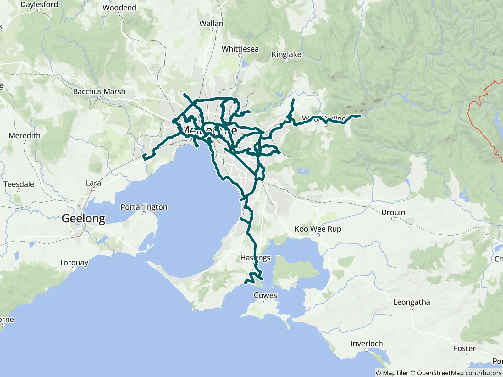
MAP Melbourne Rail Trails and Paths shows the Network of riding and walking trails in Melbourne. Ride along the beach, take a punt across the Yarra, and explore the many rivers and waterways Melbourne has to offer.
The MAP Network is an innovative, world first, planning tool for choosing your own cycling and walking adventure around the beautiful, friendly city of Melbourne on these shared paths.
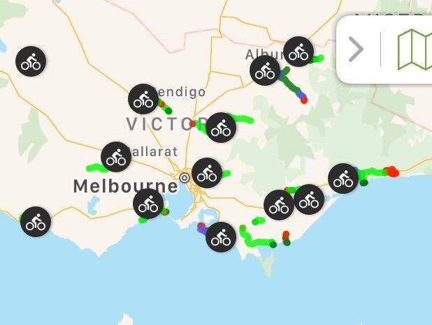
When planning your ride, filter out the Waypoints to show only those you need. For example, if your plans require trains, then turn on only the Train Icons:
In Android: Press Top left Hamburger/Settings/Displayed Waypoints/Deselect All. Then choose Transportation and turn on the Train Station icon.
In Apple: Choose the Filter/Press None/Press Train Icon.
Map your route by opening the toolbox, bottom right of your screen – touch on the trail place you wish to start from. Then map your route by touching on the paths until you reach your destination. See the train stations you might need. Save by giving the route a name. Find it again by opening My Routes (also in the toolbox).
You can turn on/off your selected icons at any time. When you are riding you might choose cafes, water, amenities etc
The FarOut app gives you all the information you need for the ride: navigation, elevations, food, water, distances, train station and more. Enjoy an overview of ride from the waypoint photos. Choose your route based on distance between stations, elevations, cafes for lunch and the surfaces you like to ride.
For a pre-planned cycling holiday choose one of our selected routes. Or Create your own plan with the FarOut Custom Route feature. To learn how - Google search "FarOut Custom Route".
Copyright 2025 Active Wayz Pty. Ltd