Total on MAP, New South Wales, Australia · Bikepacking guide
MAP NSW Central & West Best Scenic Rides
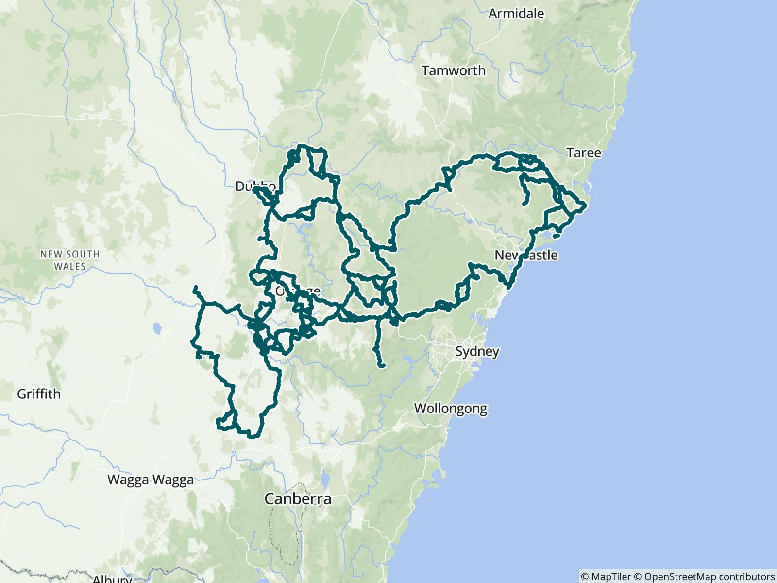
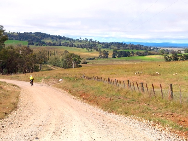
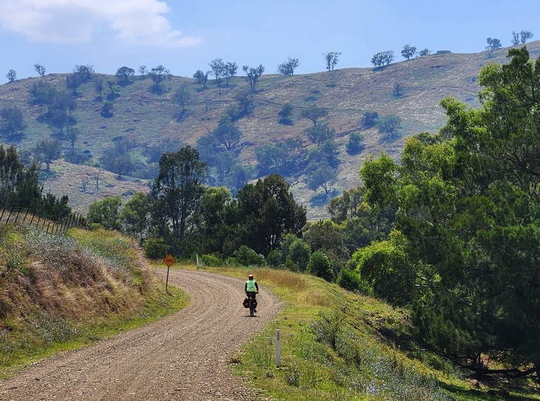
Wander through undulating rural fields on quiet country roads. Enjoy a look around the historic gold mining areas and a meal in one of the quaint and historic towns and villages of the Central Tablelands that surround Orange. There are plenty of places to stay or camp along the way. Create your own epic ride, linking up the Central West Trail with the Orange 360 and ride south to where the Bushranger Ben Hall roamed.
1103 waypoints, such as water sources, campsites, and towns and amenities
2800 mi of trail covered (including side trails)
Offline maps
Elevation profile
Custom route creation
Custom waypoint creation
About the MAP NSW Central & West Best Scenic Rides
Wander through undulating rural fields on quiet country roads. Enjoy a look around the historic gold mining areas and a meal in one of the quaint and historic towns and villages of the Central Tablelands that surround Orange. There are plenty of places to stay or camp along the way
Create your own epic ride, linking up the Central West Trail with the Orange 360 and ride south to where the Bushranger Ben Hall roamed.
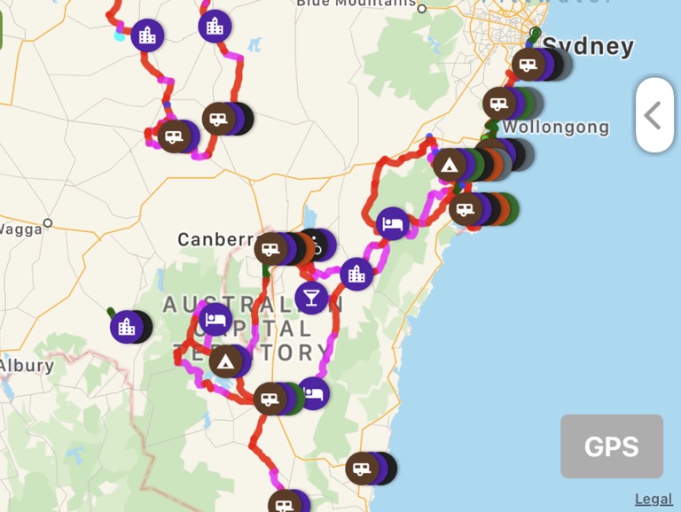
You can even ride out of Sydney and return via Newcastle using the farOut "MAP Sydney and Newcastle Best Rides".
Thank you to John Fuller for mapping the rides, providing the waypoints descriptions and photos.
The MAP Network is an innovative, world first, planning tool for choosing your own cycling and walking adventure.
When planning your ride, filter out the Waypoints to show only those you need. For example, if your plans require trains, then turn on only the Train Icons:
In Android: Press Top left Hamburger/Settings/Displayed Waypoints/Deselect All. Then choose Transportation and turn on the Train Station icon.
In Apple: Choose the Filter/Press None/Press Train Icon.
Map your route by opening the toolbox, bottom right of your screen – touch on the trail place you wish to start from. Then map your route by touching on the paths until you reach your destination. See the train stations you might need. Save by giving the route a name. Find it again by opening My Routes (also in the toolbox).
You can turn on/off your selected icons at any time. When you are riding you might choose cafes, water, amenities etc. Before your ride, use icon filters to find accommodation and caravan options and food stops along the way. As you are riding along, know when the next Cafe is coming up and enjoy the history and points of interest.
For a pre-planned walk or ride, choose one of our selected routes. Or Create your own journey with the FarOut (Custom Route) feature. To learn how - Google search "FarOut Custom Route"
Thank you to the Orange Treadlies bicycle riding group for developing the Orange360 trail. Thank you to Mudgee Bushwalkers and Bike Riders Inc. for the Central West Cycling Trail.
Copyright Active Wayz Pty. Ltd