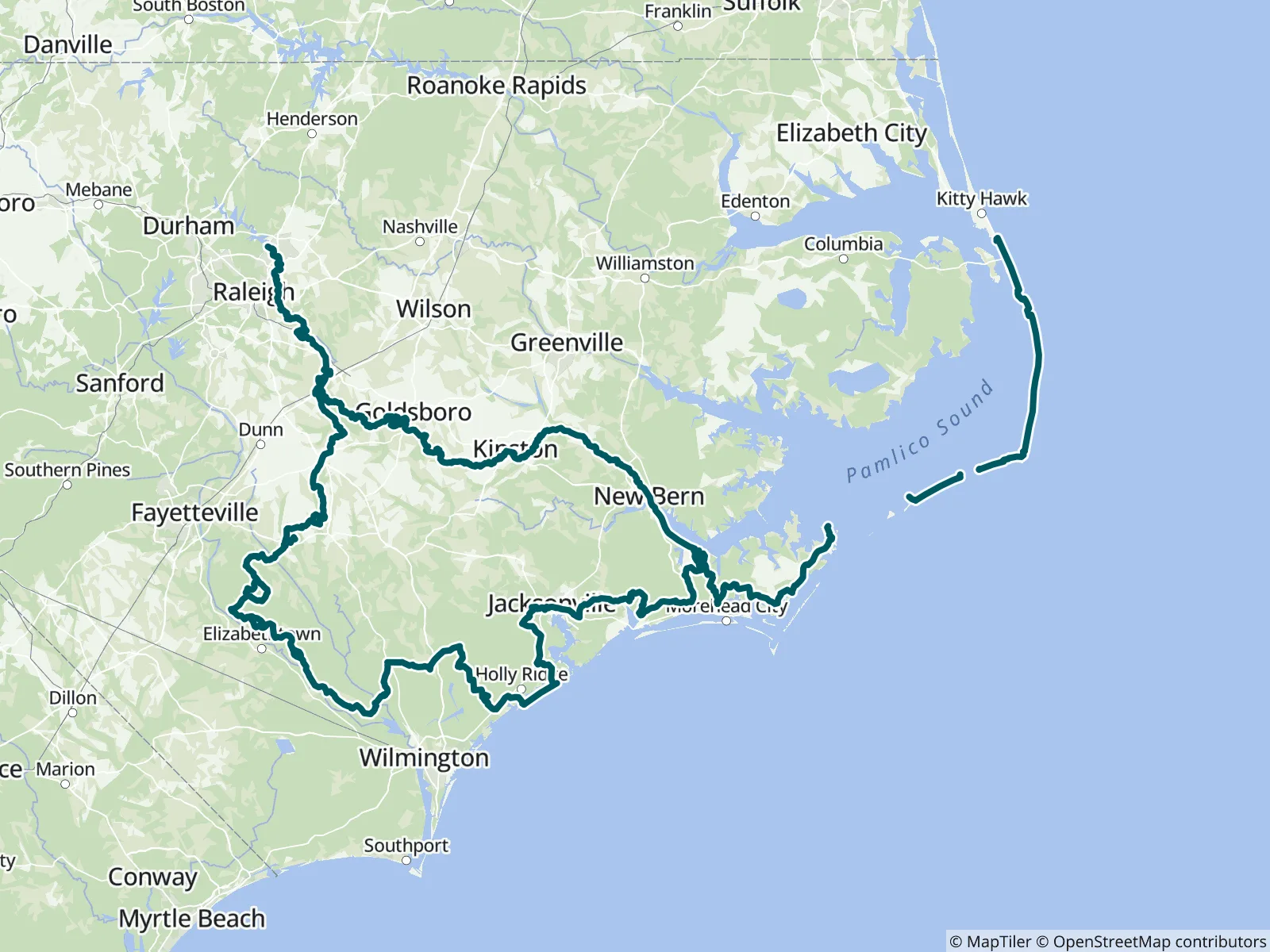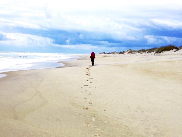
This 526-mile section of the Mountains to Sea Trail covers the Coast region of North Carolina, starting on the east side of Falls Lake at the Falls Lake Dam on the Neuse River and ending on the Atlantic Ocean just north of Nags Head. FarOut publishes this guide in partnership with The Friends of the Mountains-to-Sea Trail.

Friends of the Mountains-to-Sea Trail is based in Raleigh, North Carolina. It is the primary nonprofit organization supporting and advocating for the 1,400-mile-long Mountains-to-Sea Trail. Friends’ mission is to bring together communities and volunteers to build, maintain, and advocate for an enduring footpath. The trail connects North Carolina’s natural, historic, and cultural treasures and to ensure that all people feel welcome on the trail. Its work focuses on four areas: (1) building and maintaining trail, (2) enhancing the trail route, (3) encouraging people to use the trail, and (4) expanding support. Learn more about Friends and the MST, or get involved, by emailing info@MountainstoSeaTrail.org, calling 919-825-0297, or going online at MountainstoSeaTrail.org. The Friends of the Mountains-to-Sea Trail website All partners
“Heads up, if you were relying on sand bars for camping, pretty soon after this point not only does the river turn pretty stagnant and you have no flow helping you, but it also turns to cypress swamp dominant with very few sand bars 🦎”
“Really nice campsite on river left a little over 2 miles past here 🦎”
“The river gets really low in some spots here 🦎”
“River is so low you can't even see the water that goes into the dam lol. The next 7 miles go a little faster too so they're fun 🦎”
“Just before the bridge and the stone structure with a tree in it, there's a big tree on the left on a dirt beach. Great place to bank and up the hill there's an old road bed, super flat and great space to camp. You can hear 117, but not th…”
“The spot was once nice, but was trashed when we stopped there. Too many nitrile gloves (among other things) for my comfort. The left side of the slough seemed nice for camping but with low river levels, we struggled to get past the tree de…”
“Don't panic if you don't see the slough till the last second, it's there. There are ropes to mark the entrance. If low river levels, be prepared for a struggle in the mud. Campsite doesn't allow cat holes. It does have picnic tables, a cha…”
“When water levels are low, there is a good sandbar to camp on a .5 mile before this point.”
“Passed a campsite on the left just down river of here”
“No longer allows camping. They are giving out fines to anyone caught attempting. Buscoe Beach allows camping but it's an ATV park. We chose to move on.”