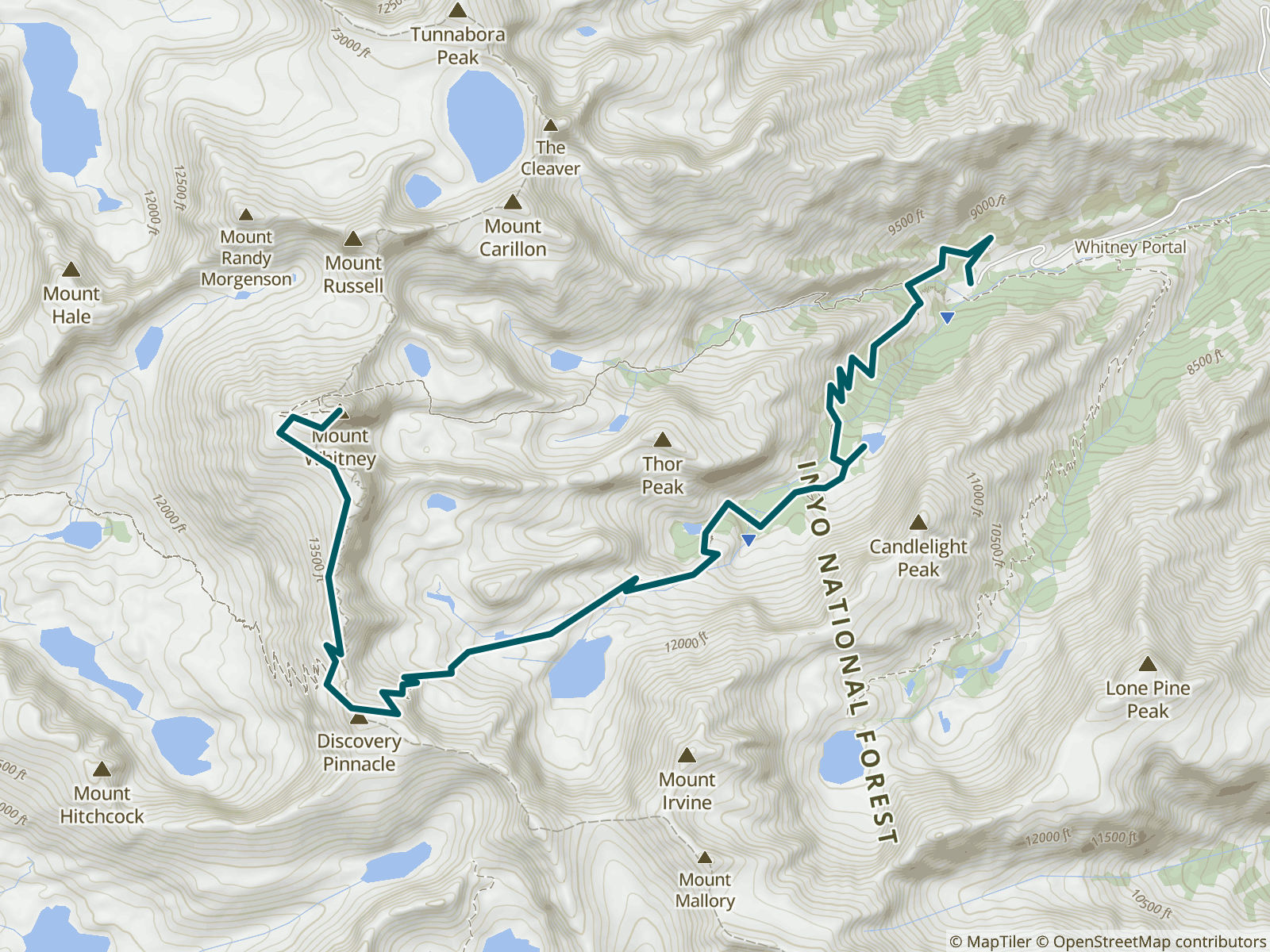
The Mount Whitney Trail is a 10.4-mile trail that leads to the highest point in the "lower 48" states of the contiguous United States. The trail starts at Whitney Portal and finishes at the summit of Mount Whitney.
73 waypoints, such as water sources, campsites, and towns and amenities
10.1 mi of trail covered (including side trails)
Offline maps
Elevation profile
Custom route creation
Custom waypoint creation
About the Mt Whitney Trail
The Mount Whitney Trail is a 10.4-mile trail that leads to the highest point in the "lower 48" states of the contiguous United States. The trail starts at Whitney Portal and finishes at the summit of Mount Whitney.