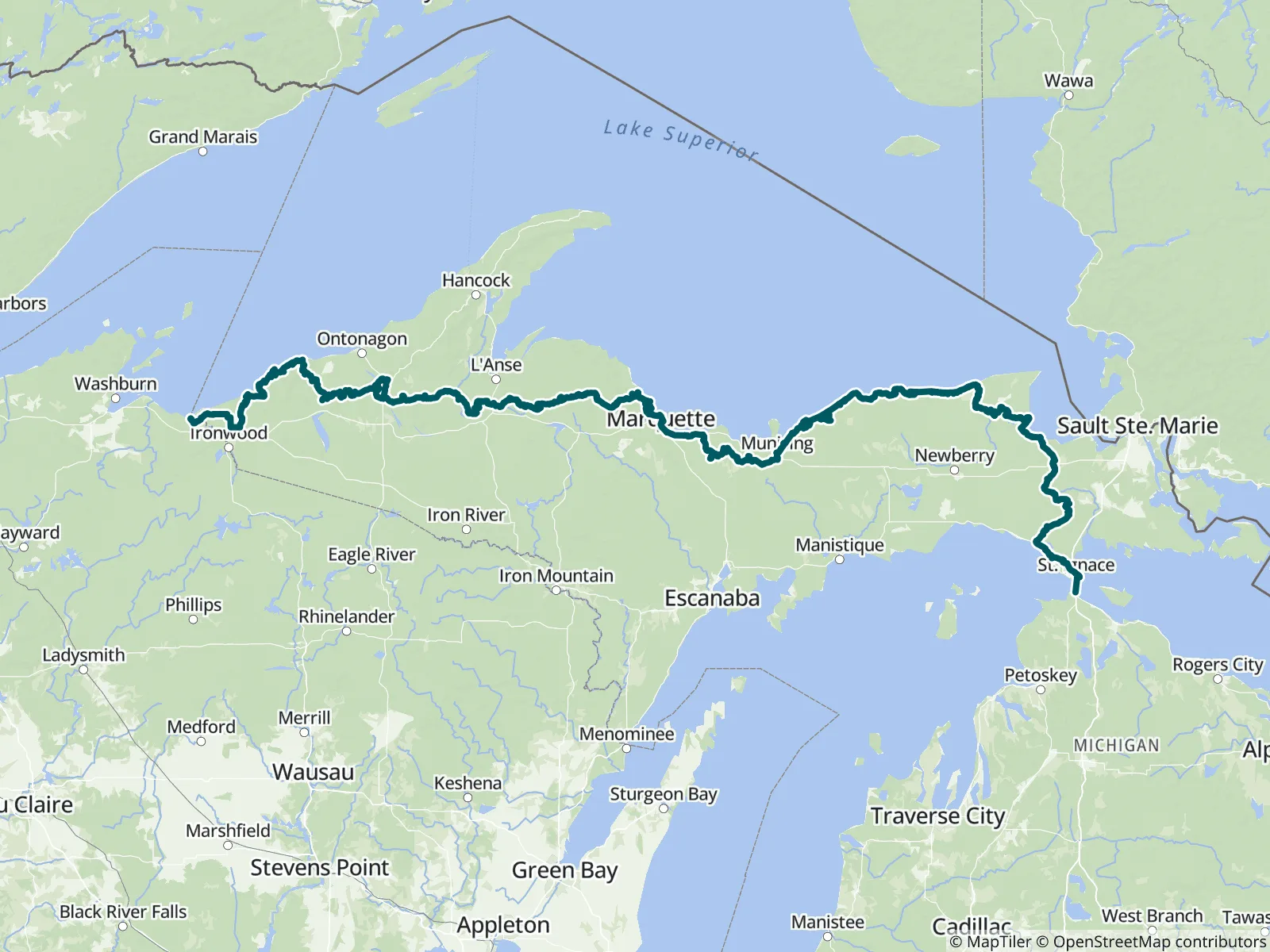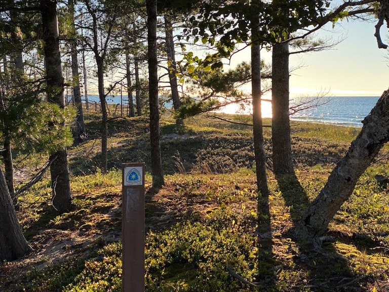
Nearly 560 miles of the North Country National Scenic Trail through Michigan's Upper Peninsula, finishing with a crossing of the Mackinac Bridge. The Western UP is a secluded land of waterfalls, lakes, and rivers; the Central UP includes the iconic 43-mile Lakeshore Trail through Pictured Rocks National Lakeshore; and the Eastern UP reaches Tahquamenon Falls and Lake Superior. FarOut publishes this guide in partnership with the North Country Trail Association.

The mission of the North Country Trail Association (NCTA) is to develop, maintain, protect and promote the North Country National Scenic Trail as the premier hiking path across the northern tier of the United States through a trail-wide coalition of volunteers and partners. The NCTA is a 501(c)(3) nonprofit organization that partners with the National Park Service to unite individuals, affiliated trail groups, local Chapters, corporate sponsors and others linked in support of building and maintaining the North Country Trail and telling its story. North Country Trail Association website All partners
“Terrible water source. Get from the river near the falls. Only water between here and Tibbetts Falls is at campground.”
“Water spigots and bathrooms all closed for the season for pictured rocks section”
“Dry foot crossing for me but probably not usually. If going west, this is the last good water source for a long ways- until Newcomb Creek.”
“It's been dry and there is still plenty of deep water. Great water source.”
“Agree with other comments- easier and better water at small stream to the east. The first one going east was a bit better today.”
“Awesome views! Plenty of flat ground for tent set up 🤘”
“Flowing lightly, deep puddles to dunk your cnoc in. Nice little spot to relax, too”
“Campfire ring and space for 1-2 tents, ridge view at 108.6. Good flow”
“Also, amazing campsite on the upcoming ridge walking eabo. MM 107.4 has a fire ring, no protective shelter. Room for 2-4 tents”
“Real good flow just a little back from here, traveling eabo”