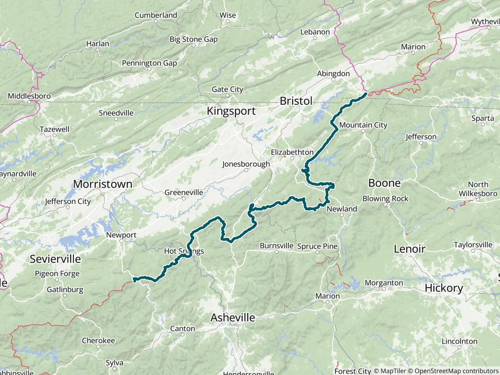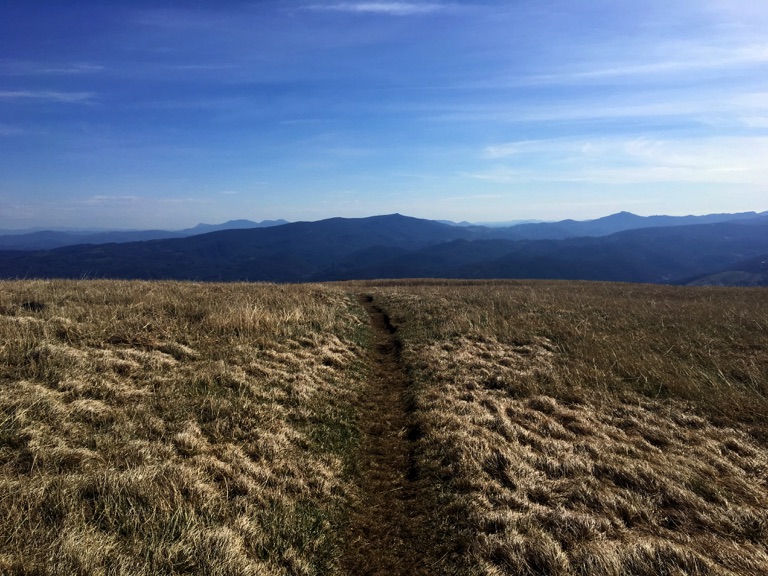
This guide covers 231.6 miles of the Appalachian Trail, from the northern boundary of Great Smoky Mountains National Park to Damascus, Virginia. Much of it follows the North Carolina-Tennessee border, including the Roan Highlands. It is Part 2 of 9 of FarOut's A.T. guide, the Official Hiking App of the A.T., and can be bought on its own for a section hike.

Since 1925 the Appalachian Trail Conservancy has been leading the management and conservation of the Appalachian Trail and its landscape—a sanctuary from the modern world where nature thrives and people can connect with its transformative power. Each year, the A.T. landscape draws millions of visitors, serves as a critical wildlife corridor and refuge for thousands of diverse species, and plays a vital role in driving climate resilience and economic vitality in neighboring communities. Appalachian Trail Conservancy website All partners
“Water is flowing at the shelter. today have to use a leaf but don’t have to scoop. Might be the best place SOBO until the creek by the turn off to Standing Bear. Not much in between today.”
“Flowing, bring scoop”
“Not flowing per se, but a very reliable source of clean water. Better than a cow pond in New Mexico.”
“Dry.”
“Dry.”
“Dry.”
“Gently flowing”
“Tent site 0.5 miles north.”
“Space for 1 tent 0.3 miles north.”
“More single tent sites 1.1 & 1.6 miles north.”