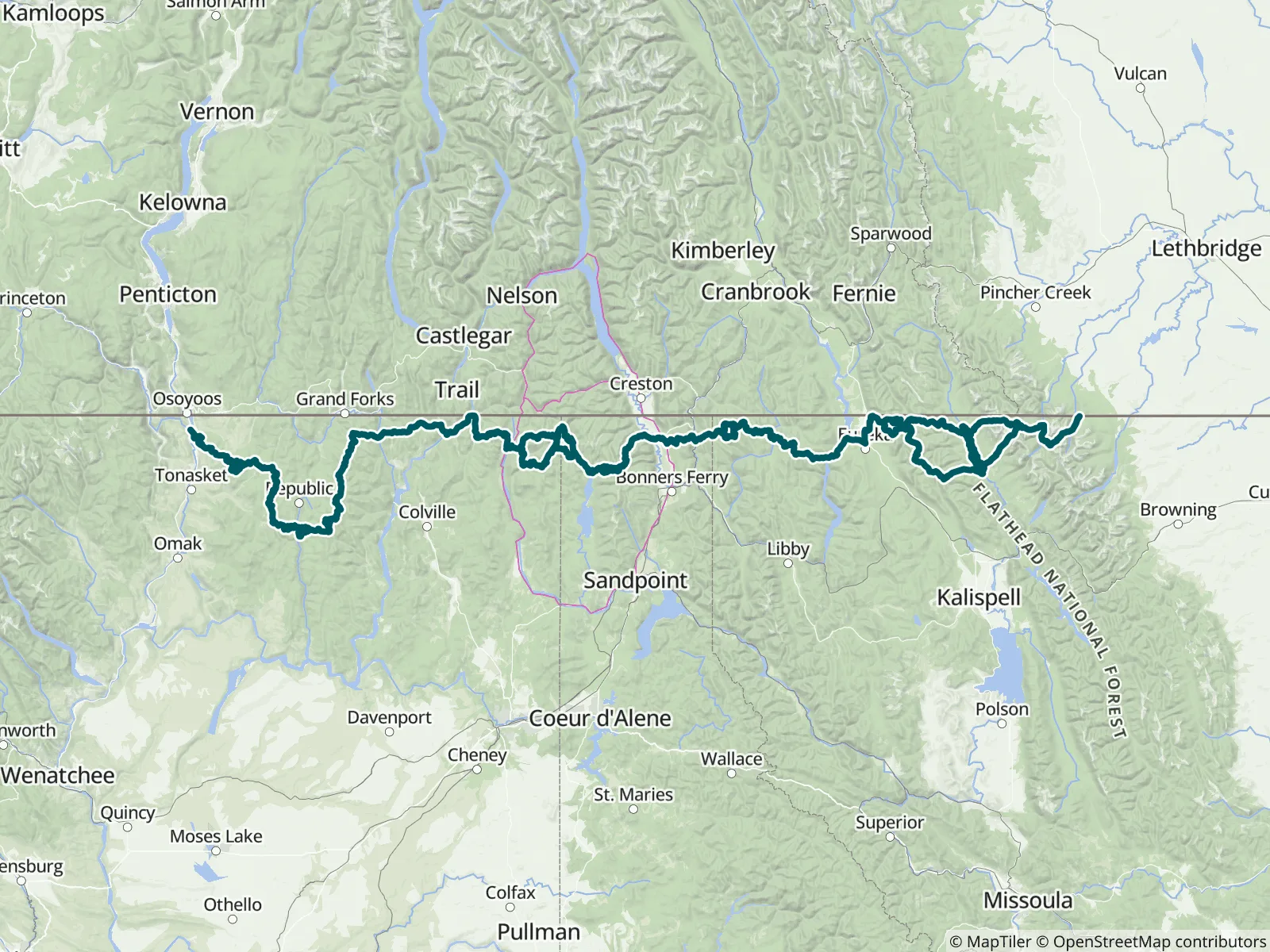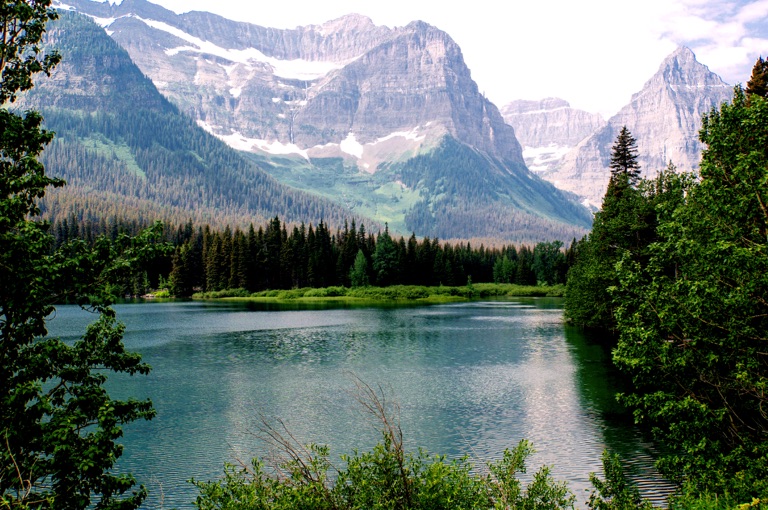
The Pacific Northwest Trail is one of the youngest National Scenic Trails and traverses some of the most spectacular lands in the country. This guide covers the eastern half of the trail, taking you 580 miles from the Rocky Mountains of Glacier National Park, Montana, to Oroville, Washington. FarOut publishes this guide in partnership with the Pacific Northwest Trail Association.

The Pacific Northwest Trail Association is the primary nonprofit organization dedicated to the maintenance and enhancement of the 1,200-mile Pacific Northwest Trail. The PNTA created the trail in the late 1970s and championed the effort to earn the PNT its place in America’s National Trails System. Today, its leading advocacy continues with critical contributions to the federal comprehensive planning process that will shape the trail and the hiking experience for generations to come. Learn how you can get involved and support America’s newest national scenic trail. The PNTA provides seasonal job opportunities for trail stewards, manages volunteer events, and provides free maps, resources, and information on its website. Pacific Northwest Trail Association website All partners
“Sweet camp location with two sites. Food prep area is super nice and right next to the creek. My location shows .1 mile east of the FarOut icon.”
“Water flowing 363.1”
“Several small flows across trail. Look for thigh high undercut bank. There are several steady streams at least 3x dia sawyer filter flow. That area is very wet, water is probably always flowing. Best camping is about 121m. Trail even with…”
“Good flow.”
“Appears to be dry camp”
“Juicy coming webo.”
“Great shelter from lightning storm. No mice, but outside there are chipmunks.”
“No flow but lake is still here”
“For water on fire detour click on east end icon.”
“Good flow”