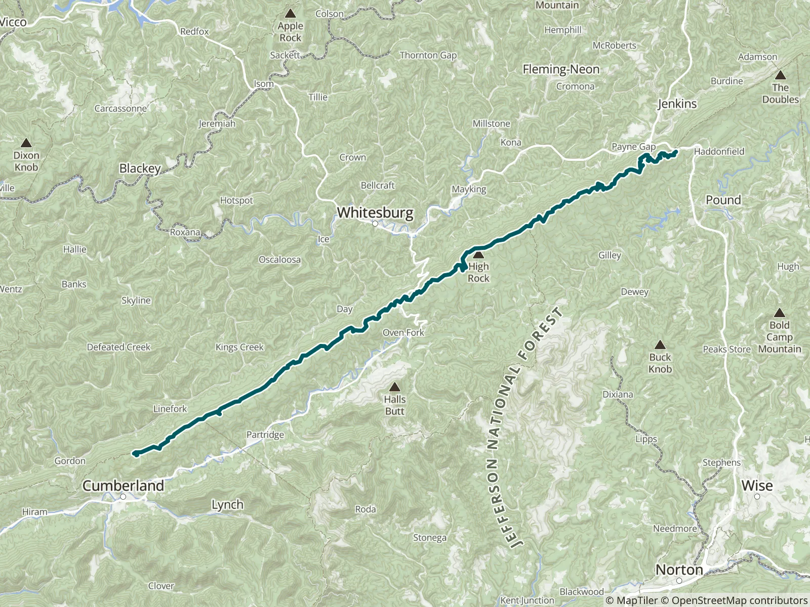
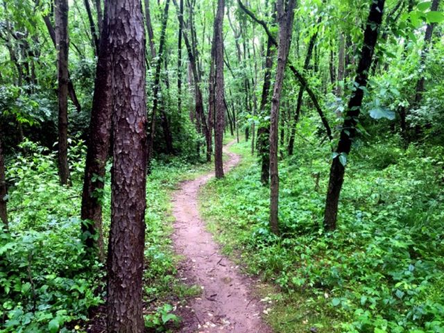
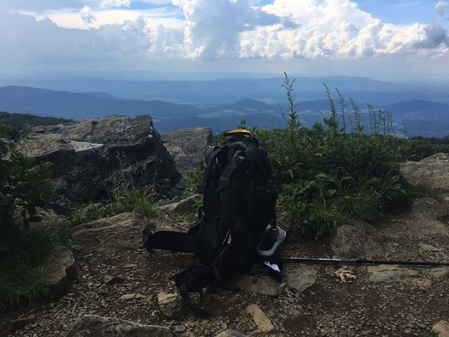
This guide covers the 30.4-mile portion of the Pine Mountain State Scenic Trail that includes the Little Shepherd Trail (14 miles) and the Highlands Trail (16.4 miles); the full trail will span 120 miles. It runs along the sawtooth spine of Pine Mountain on the Kentucky and Virginia border, with spectacular views across the Cumberland Plateau and a healthy black bear population. A newer trail and a hidden gem. FarOut publishes this guide in partnership with the Pine Mountain Trail Conference.

The Pine Mountain Trail Conference is dedicated to the Pine Mountain, Kentucky, regional legacy. This area represents one of the last great contiguous stretches of unfragmented forest in Kentucky. While other parts of the region have been developed, strip-mined or heavily logged, Pine Mountain remains relatively untouched. The trail is positioned at the western edge of the Appalachian Mountains. As a result the trail offers commanding views of Virginia, Kentucky, West Virginia, and Tennessee. Pine Mountain Trail Conference website All partners
“Water source was bone dry 11/06/26”
“Nice big grass field that you walk out into behind the Marathon, honestly not that loud and pretty deeply dark as it’s kinda nestled back from the storefront and lights. You could likely camp here comfortably if you wanted. Store cashier w…”
“Another nice shelter much the same as the earlier one, but this one has a collapsible chair set up on the bottom floor currently 😮”
“The pipe further along the trail on the left just before the shelter is just a slow drip. Maybe a couple liters that could be scooped in the pool behind the rock wall. Likely refreshes with the rain tomorrow”
“Some ok camping up here around mayknob antenna station if you need it”
“Great view, only one solid tentsite from what I saw, super sheltered with a tight circle of rhododendron around it. Rest of the sites looked fairly slanted/exposed”
“Still good flowing water here. No need to run down the steep bank to get the water when you first see it, it’s right next to trail at this waypoint”
“Decent tenting just offtrail on the left at mi 17.2”
“Tiniest of flows again. Mostly a Streambed of standing water right now, but a good depth so usable”
“Tiniest of flow but collectible pools around the streambed”