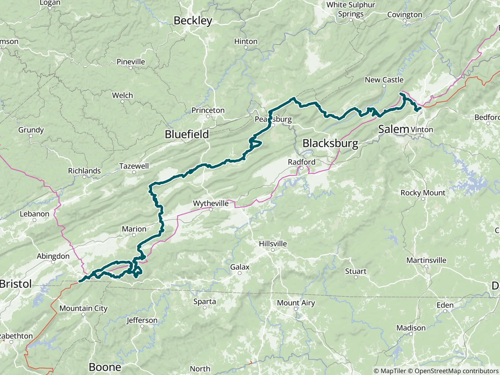
This guide covers 263.8 miles of the Appalachian Trail through southern Virginia, from the Tennessee border to Daleville, near Roanoke, including McAfee Knob, Tinker Cliffs, Dragon's Tooth and Peters Mountain. It is Part 3 of 9 of FarOut's A.T. guide, the Official Hiking App of the A.T., and can be bought on its own for a section hike.

Since 1925 the Appalachian Trail Conservancy has been leading the management and conservation of the Appalachian Trail and its landscape—a sanctuary from the modern world where nature thrives and people can connect with its transformative power. Each year, the A.T. landscape draws millions of visitors, serves as a critical wildlife corridor and refuge for thousands of diverse species, and plays a vital role in driving climate resilience and economic vitality in neighboring communities. Appalachian Trail Conservancy website All partners
“Low flow but reasonable coming out of the pipe 11/15”
“11/15, good flow but you have to hunt for it”
“Water source bone dry 11/15/26”
“Flowing well less filling and tastes great”
“Checked out abandoned hay barn almost falling in but usable in a pinch”
“Camped here next to the creek. Guy that lives down the road walking his dog brought me a beer. Nice campsites but lots of blow downs around”
“Camped here near the stream. Good water and very little road noise.”
“Great looking campsite but the Boy Scout trail intersects it right at the campsite and lots of day hiker traffic through this spot”
“Good flow off a rock”
“Confirming Sharpe's comment about water flow. Still flowing as of Nov 11.”