28 - Difficult Run Stream Valley Park: Gerald Connolly Cross County Trail
The National Park Service maintains the well-marked trail with blazes and signage. 2.8 miles (with longer options), moderate–difficult; allow 2 hours (with stops to watch climbers and explore riverbank). This is Hike No. 28 in the Menasha Ridge Press guidebook 60 Hikes Within 60 Miles: Washington, D.C. by Renee Sklarew and Rachel Cooper. FarOut publishes it in partnership with AdventureKEEN.
About the 28 - Difficult Run Stream Valley Park: Gerald Connolly Cross County Trail
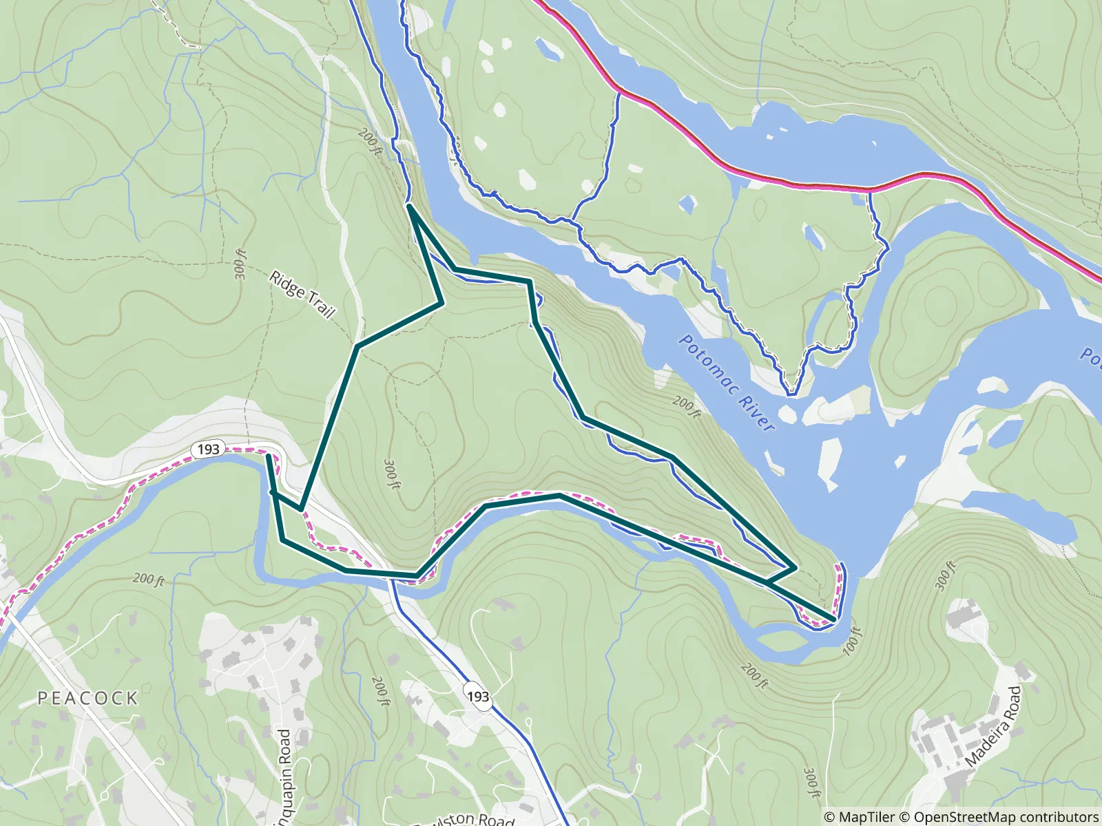
DIFFICULT RUN STREAM VALLEY TRAIL follows the dramatic, fast-moving Difficult Run stream until it joins the Potomac River. The National Park Service maintains the well-marked trail with blazes and signage. Expect elevations over 300 feet with rocky, steep, and challenging sections of trail, plus extraordinary views of Mather Gorge, climbers scaling cliffs, and visitors exploring the riverbanks.
LENGTH 2.8 miles (with longer options)
CONFIGURATION Loop
DIFFICULTY Moderate–difficult
SCENERY Forested hills, rocky riverbank, cliff overlooks, rapids
EXPOSURE Shady; less so in winter
TRAFFIC Busy year-round; can be heavy on weekends and holidays
TRAIL SURFACE Dirt, rocky, boulder climbs
HIKING TIME 2 hours (with stops to watch climbers and explore riverbank)
DRIVING DISTANCE 19 miles
SEASON Year-round; lovely in winter but best in fall and spring
ACCESS Open daily, sunrise–sunset
WHEELCHAIR TRAVERSABLE No
FACILITIES No restrooms or water, mostly wilderness hiking