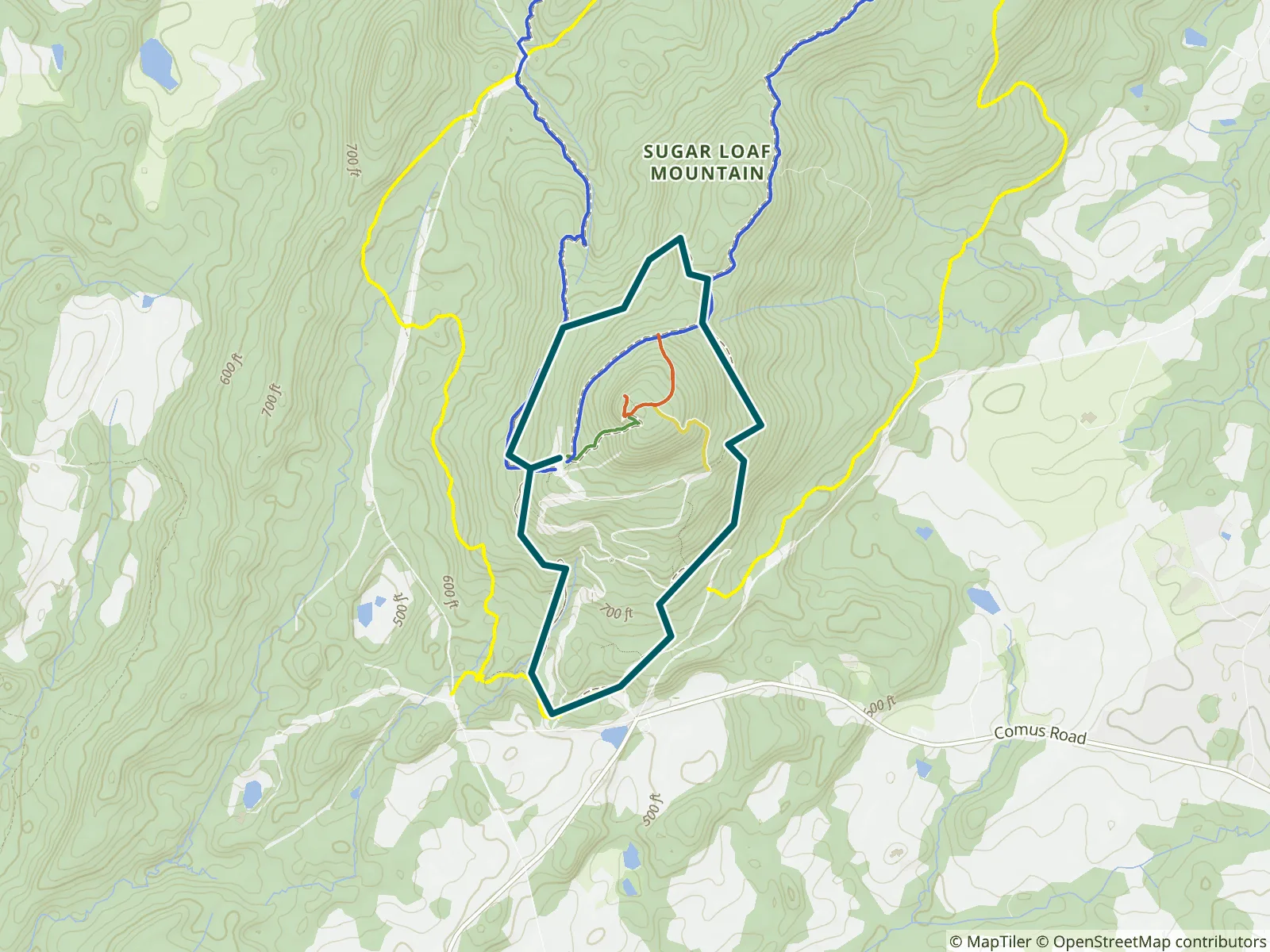
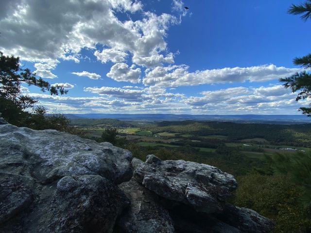
Washington’s nearest mountain is vista-rich Sugarloaf Mountain, located in southern Frederick County. 3.8 miles (with longer and shorter options), moderate; allow 2 hours. This is Hike No. 52 in the Menasha Ridge Press guidebook 60 Hikes Within 60 Miles: Washington, D.C. by Renee Sklarew and Rachel Cooper. FarOut publishes it in partnership with AdventureKEEN.
WASHINGTON’S NEAREST MOUNTAIN is vista-rich Sugarloaf Mountain, located in southern Frederick County. You can hike up, around, and down it in half a day. You can also use the map to devise shorter or longer options.
LENGTH 3.8 miles (with longer and shorter options)
CONFIGURATION Loop
DIFFICULTY Moderate
SCENERY Upland woodlands, sweeping vistas, forest
EXPOSURE Mostly shady; less so in winter
TRAFFIC Usually light; crowded on warm-weather weekends, during fall foliage season, and on holidays, especially on and near the summit
TRAIL SURFACE Roughly half hard-packed dirt; rocky and rooty
HIKING TIME 2 hours
DRIVING DISTANCE 46 miles
SEASON Year-round
ACCESS Open daily, sunrise–sunset; road within park opens at 8 a.m. and closes 1 hour before sunset.
WHEELCHAIR TRAVERSABLE No
FACILITIES Water and phone at trailhead, with restroom nearby; restrooms at parking lots and entrance