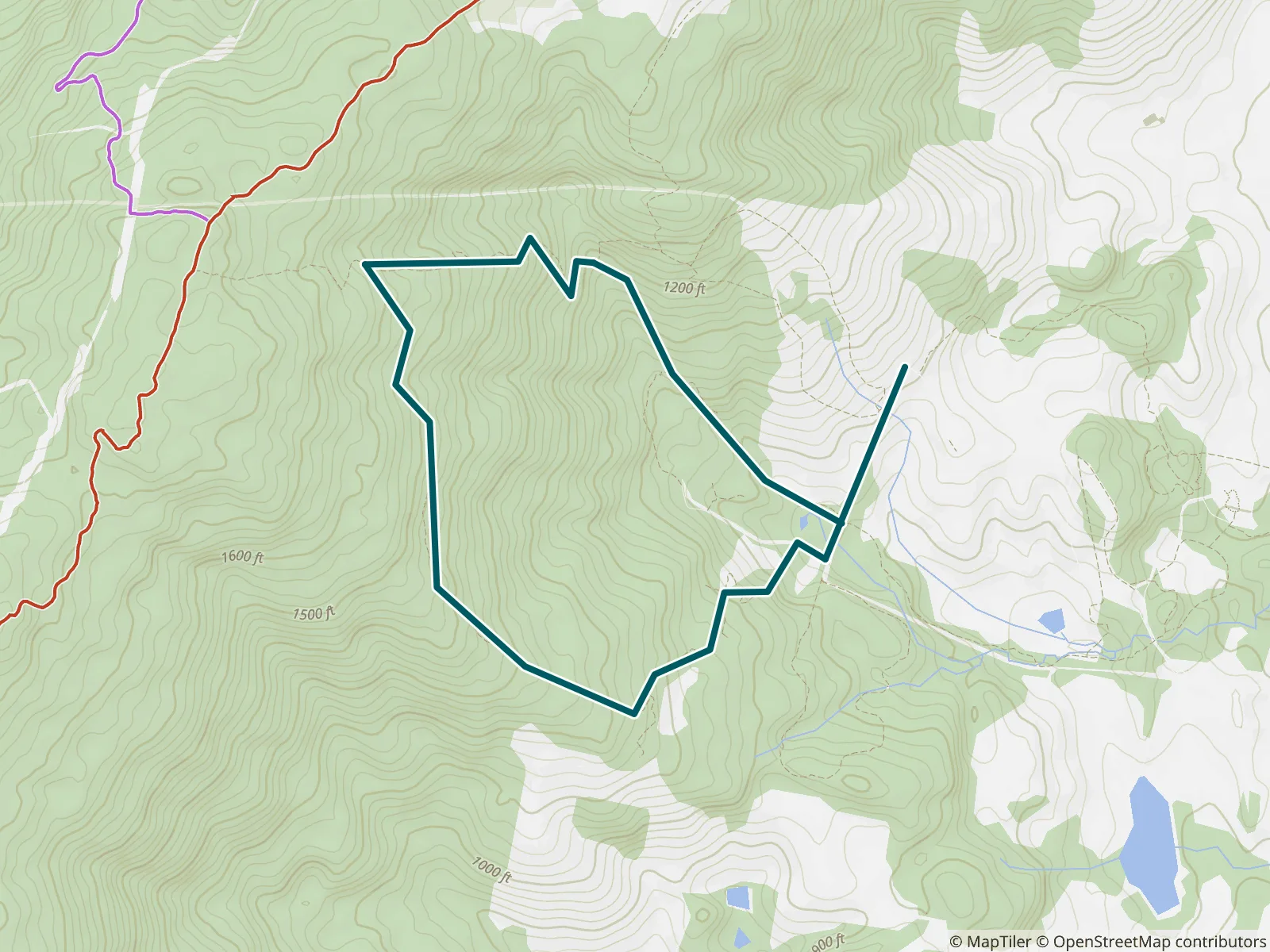
This state park in Virginia’s portion of the Blue Ridge Mountains lives up to its name. 3.6 miles (with longer options), moderate; allow 2 hours (including time to view the overlook). This is Hike No. 60 in the Menasha Ridge Press guidebook 60 Hikes Within 60 Miles: Washington, D.C. by Renee Sklarew and Rachel Cooper. FarOut publishes it in partnership with AdventureKEEN.
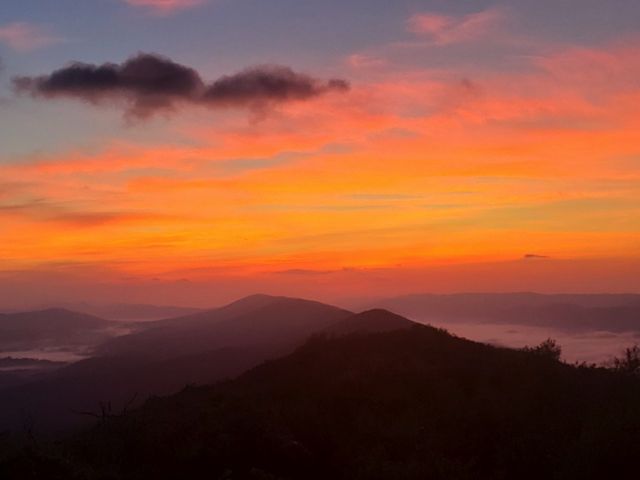
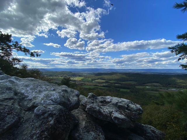
THIS STATE PARK in Virginia’s portion of the Blue Ridge Mountains lives up to its name. Hikers can enjoy waterfalls, woodlands, vistas, exercise, and a visit to Virginia’s wine country.
LENGTH 3.6 miles (with longer options)
CONFIGURATION Loop
DIFFICULTY Moderate
SCENERY Vista-rich upland meadows; woodlands, waterfalls, farms, cattle, vineyards
EXPOSURE Some shade; some sun in open areas
TRAFFIC Light on weekdays; heavier on warm-weather weekends and holidays
TRAIL SURFACE Mostly dirt; some gravel and grass; rocky, rooty in places
HIKING TIME 2 hours (including time to view the overlook)
DRIVING DISTANCE 60 miles
SEASON Year-round
ACCESS Open daily, 8 a.m.–sunset; entrance fee
WHEELCHAIR TRAVERSABLE No
FACILITIES Restrooms, water, phone at trailhead; gift shop