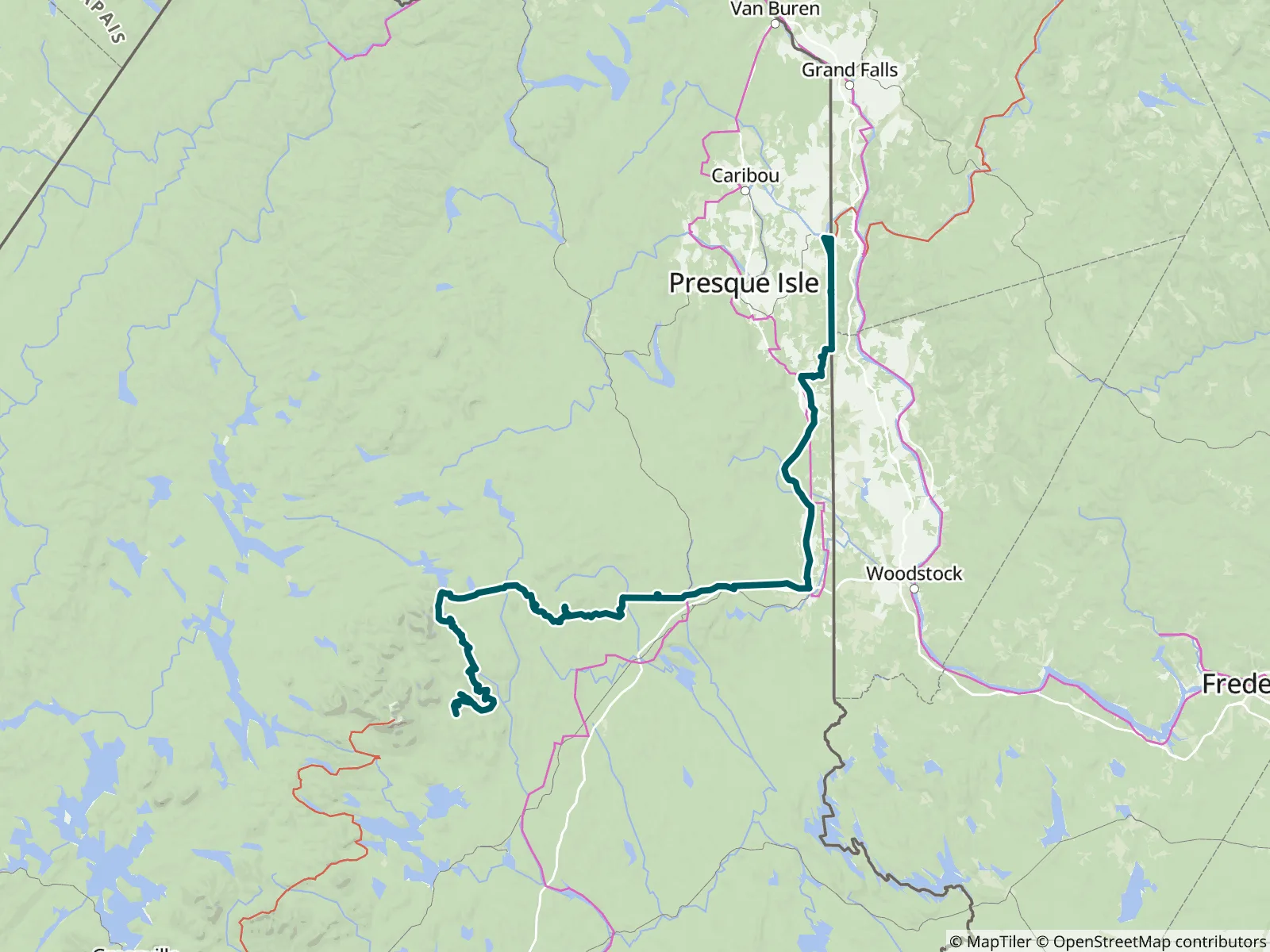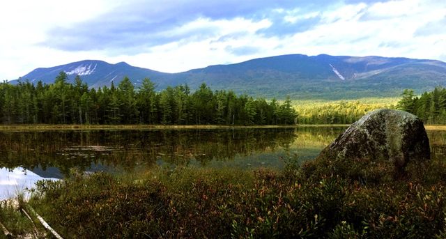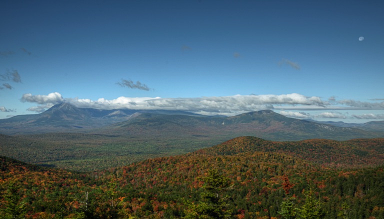
The Maine section of the IAT/SIA is about 138mi/222km long and begins on the Katahdin Loop in Katahdin Woods & Waters National Monument east of Baxter State Park. It follows the East Branch of the Penobscot River north, turns east toward Houlton, then crosses Mars Hill Mountain and follows the international border to Fort Fairfield and Perth-Andover, New Brunswick. FarOut publishes this guide in partnership with The Maine Chapter of the International Appalachian Trail.

The Council of the International Appalachian Trail was launched in June 1994. Representatives from Maine, New Brunswick and Quebec gathered to begin the work. The goal was to complete a footpath to connect the three highest points of land in each jurisdiction. Now, 22 chapters in 13 countries on 3 continents around the arc of the North Atlantic Ocean Basin continue the work. Chapters take on the responsibility of building and maintaining the footpath. The trail traces the ancient Appalachian/Caledonian mountain chain from North America to North Africa. The Council is an informal association whose members agree to a set of structures and responsibilities. These responsibilities includes establishment and maintenance of the footpath, the creation of maps, guides, and other promotional materials. Chapters are encouraged to develop their own means of public communication and education. All of the chapters contribute stories and other promotional material to the shared web portal. The Maine Chapter of the International Appalachian Trail website All partners