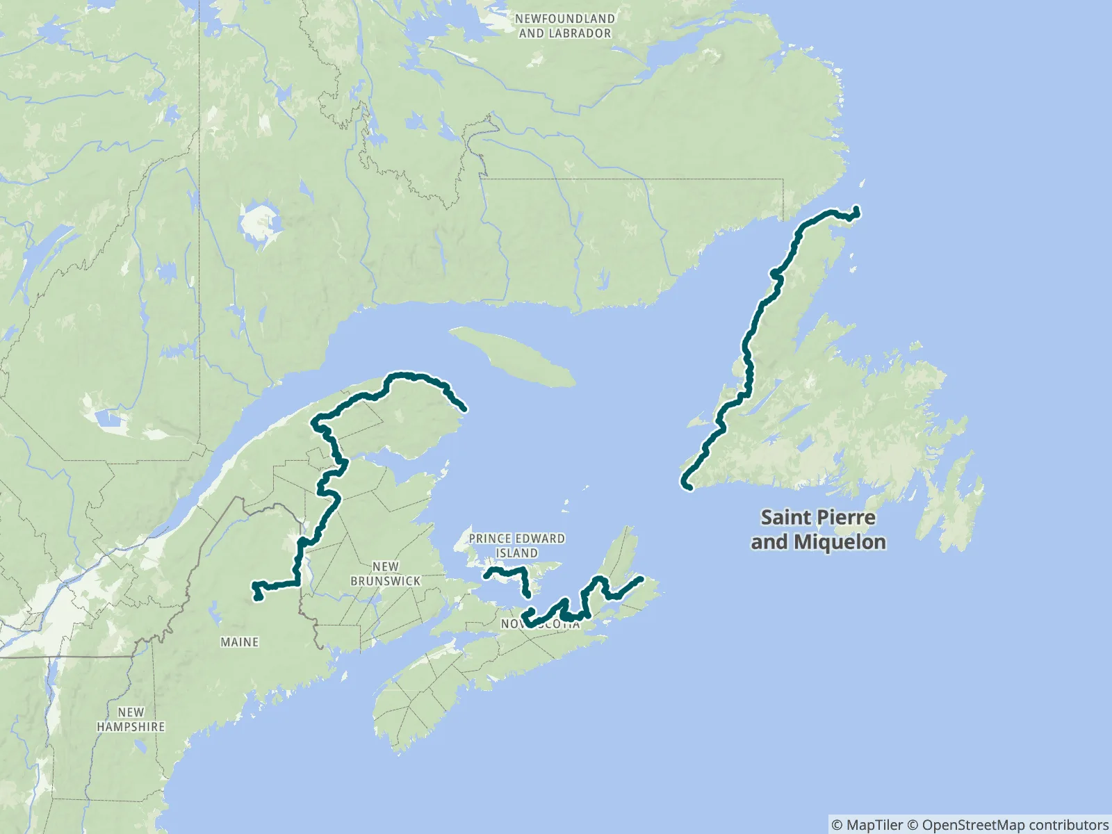
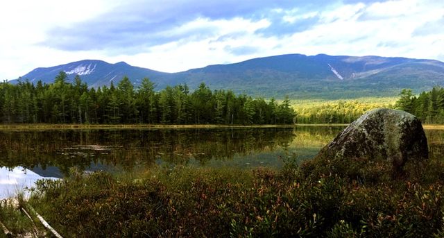
The International Appalachian Trail began in 1995 with the goal of a walking trail following the Appalachian Mountains from Mount Katahdin, Maine to Cap Gaspe, Quebec; it has since grown to over 5000mi/8000km in 13 countries. This bundle includes six sections: Maine, New Brunswick, Quebec, Prince Edward Island, Nova Scotia, and Newfoundland. FarOut publishes this guide in partnership with The Maine Chapter of the International Appalachian Trail.

The Council of the International Appalachian Trail was launched in June 1994. Representatives from Maine, New Brunswick and Quebec gathered to begin the work. The goal was to complete a footpath to connect the three highest points of land in each jurisdiction. Now, 22 chapters in 13 countries on 3 continents around the arc of the North Atlantic Ocean Basin continue the work. Chapters take on the responsibility of building and maintaining the footpath. The trail traces the ancient Appalachian/Caledonian mountain chain from North America to North Africa. The Council is an informal association whose members agree to a set of structures and responsibilities. These responsibilities includes establishment and maintenance of the footpath, the creation of maps, guides, and other promotional materials. Chapters are encouraged to develop their own means of public communication and education. All of the chapters contribute stories and other promotional material to the shared web portal. The Maine Chapter of the International Appalachian Trail website All partners
“Flowing”
“If the hose from the spring isn't running, you can walk up the hill a little ways & collect directly from the pipe.”
“.3 south, there's a side road that leads to the powerlines. I camped there, no issues.”
“Not much here. There's a gas station a bit past this with much better options. If you need somewhere to camp in this area, Waters Edge RV park just down the road has testing for $25.”
“Stopped and got water from church spigot but church being closed at that time a nice local directed me to nearby Town Office where I got permission to tent at the Community Center across Route 1.”
“Had enough but much of the water through here was unappealing; a bit north there was a culvert crossing where it looked OK.”
“Supplemented food and water here and Freshies.”
“I set up under the bridge. No wind, mild condensation but very rocky.”
“Easy access to water if you hang a right on the dirt road right after the bridge walking nobo.”
“Didn't see any worthwhile campsites south of the bridge. I just set up under the bridge & didn’t have any problems. Also shocked that I woke up without any condensation on my tent.”