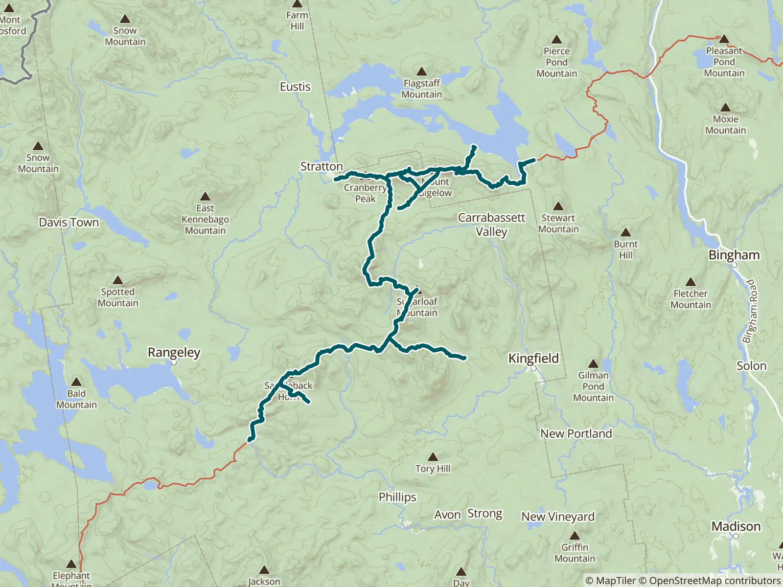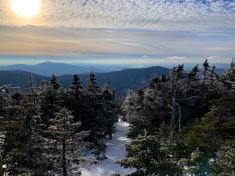
The area between Rangeley, Stratton, and Kingfield is home to ten of Maine's fourteen 4000-foot peaks and a huge array of hiking, mountain biking, paddling, and skiing. Long a winter mecca around the Sugarloaf ski resort, the region now draws hikers to the Appalachian Trail, the Bigelow Preserve, and the Maine Huts and Trails network. This guide covers trails on nine of the ten major peaks, including the AT from ME Route 4 to Long Falls Dam Road and the Bigelow Preserve.
“Where the ATT meets the berry pickers Trail on top of saddleback is a Great little spot to get out of the storm if you need to, although ideally you wouldn’t be up here if you saw a storm coming in on the north side at this juncture is a c…”
“Water was still easily scooped by the entrance to the shelter”
“5000L/minute”
“It’s flowing really well today”
“Dry. There is a Tentsite .6 miles north of here on the left. Fit a three person tent and was fairly level.”
“Totally dry”
“Spring is dry here. There is water .3 south of here running slowly. I made a spout with a piece of bark in order to collect it.”
“There is water”
“Stayed here last night after a heavy resupply and having to trudge up Crocker. If you’re southbound, it is a very pleasant experience until you get to the other side where you wonder what the hell happened. There is plenty of water going…”
“Water is flowing here. The tent sites are not great. I spent the whole evening wrestling with my pillow and my sleeping bag sliding off my mattress. I kindly ask my neighbors that if I broke out of the back of my tent and rolled down the h…”