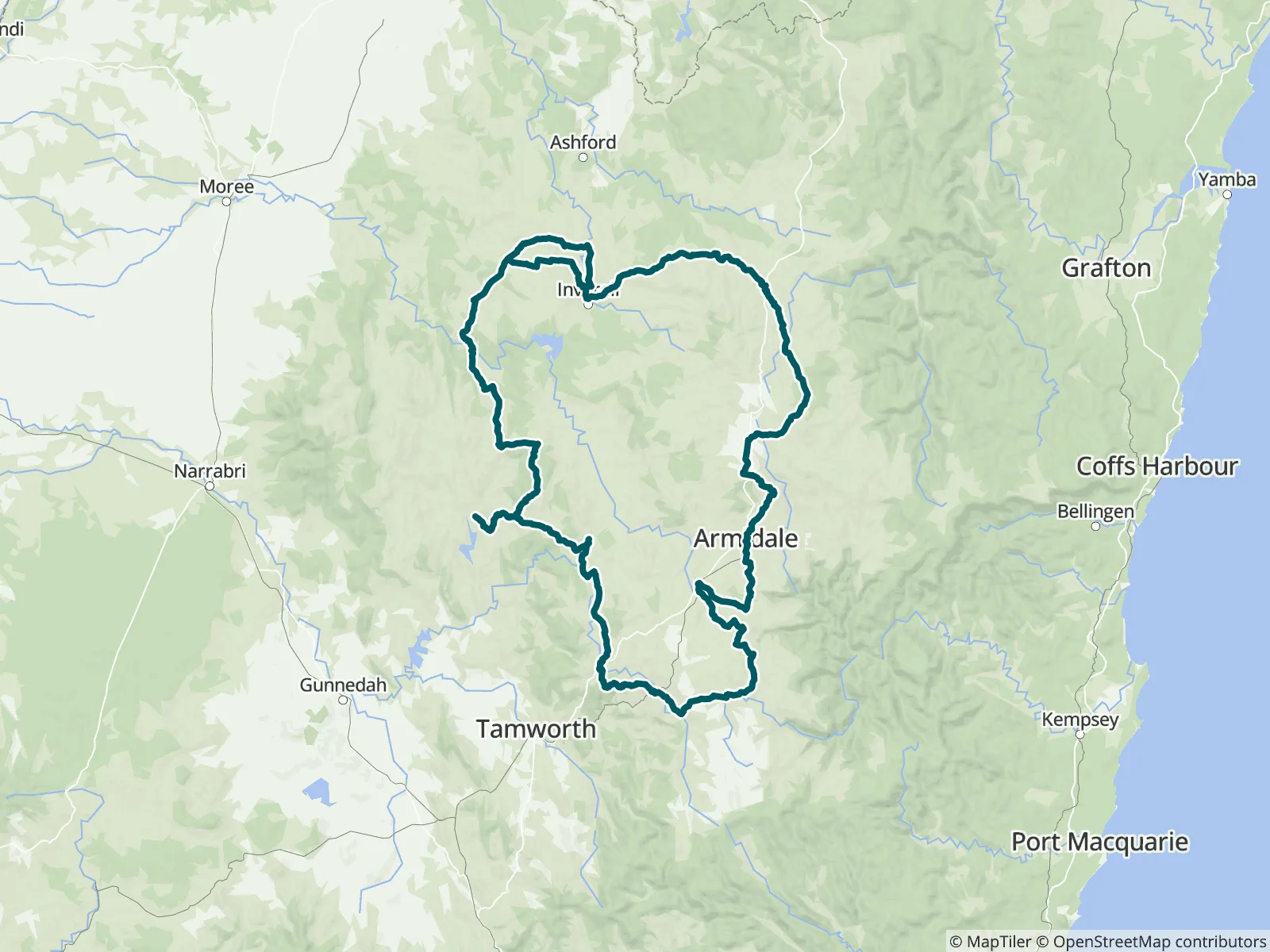
The area has been occupied and cared for by the Kamilaroi, Nygunyaywana, Dhungatti and Ngarbal peoples for tens of thousands of years before colonisation. If leaving on a clock wise circuit from Armidale you’ll head south, traversing quiet farm roads, stock routes, and open grazing country as you cycle through the southern part of the plateau. Route: 625 km loop, hilly in places, medium to hard, 60% unpaved, best with tyres of at least 40mm wide.
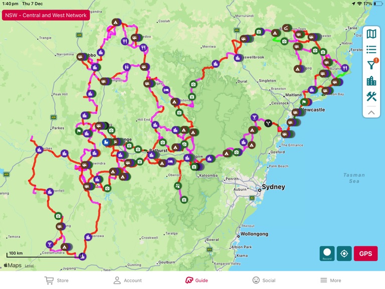
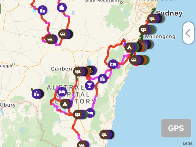
109 waypoints, such as water sources, campsites, and towns and amenities
440 mi of trail covered (including side trails)
13 side trails
Offline maps
Elevation profile
Custom route creation
Custom waypoint creation
About the New England High Country 1000 Western Section
625km loop, Hilly in places, Medium to Hard, 60% unpaved, best with tyres of at least 40mm wide.
Access: Train/Bus to Glen Innes, Tenterfield or Armidale from Newcastle, Sydney or Brisbane, but you’ll probably need to box your bike. Drive to any town on the loop.
The area has been occupied and cared for by the Kamilaroi, Nygunyaywana, Dhungatti and Ngarbal peoples for tens of thousands of years before colonisation.
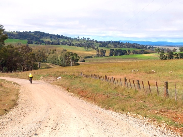
If leaving on a clock wise circuit from Armidale you’ll head south, traversing quiet farm roads, stock routes, and open grazing country as you cycle through the southern part of the plateau. There is an occasional short climb to obtain views off the tableland into the distant lowlands.
Further on in the western section of the route you’ll pass old homesteads and the occasional cattle trucks or farm ute. You’ll have riding companions in horses and cattle running with you in paddocks and sheep bucking across your path on the gravel.
Highlights include the back road from Woolbrook to Bendemeer which has a great view. The Myall Creek Massacre Memorial site 49km south of Delungra. The quaint small towns of Uralla, Walcha, Guyra and Bendemeer. The big night sky, especially if camping and the Celtic history while visiting Glen Innes.
Most of the trail consists of good gravel roads. All riders should be well prepared for any weather conditions and for things not going to plan. It can get hot during mid-summer and snow isn't uncommon at the higher elevations in winter. There are a number of creek and river crossings which may be difficult after heavy rain.
Thanks to by Jorja Creighton, David Waugh and other local cyclists for the route. See the website for more information: https://bikepacking.com/routes/nehc1000/
Thank you to John Fuller for mapping and photographing this great ride.