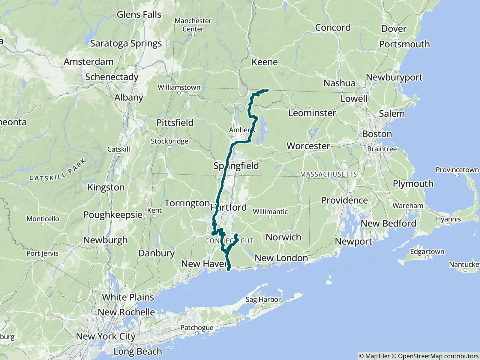
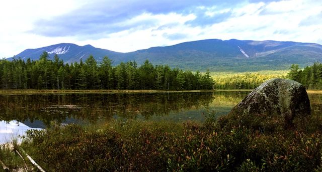
The New England National Scenic Trail (NET) is a 235-mile hiking route that has existed for over half a century, traveling through 41 communities in Connecticut and Massachusetts along the historic Mattabesett, Metacomet, and Monadnock (M-M-M) Trail systems. It passes classic New England landscapes: vistas with rural towns as a backdrop, unfragmented forests, river valleys, ridges, and waterfalls. FarOut publishes this guide in partnership with the Connecticut Forest & Park Association.

Founded in 1895, the Connecticut Forest & Park Association (CFPA) was the first private, nonprofit, conservation organization to be established in Connecticut. The The CFPA connects people to Connecticut’s forests, parks, and Blue-Blazed Hiking Trails, and ensures these special places are protected and well-managed for future generations. CFPA and its volunteers launched the Blue-Blazed Hiking Trail System in 1929 as a new way to explore and appreciate Connecticut’s forests. The trails are hosted on 825 miles of private, town, and state lands stretching across 96 towns, and include the nation’s newest National Scenic Trail, the New England Trail. Connecticut Forest & Park Association website All partners
“Good flow after the rain this last week”
“Bone dry, nothing but leaves”
“Did not see any porta potties in this area. There are few covered picnic areas that are lovely to siesta in or out of the rain.”
“Great shelter spent the night didn’t see or hear any mice, babbling Brook often in the distance”
“Flowing”
“Flowing”
“Water is flowing”
“Flowing right before the shelter nobo”
“Water is shallow but still flowing .1 north of here. Also .1 south there is a lot of water next to the road. there is a few spots for parking at the road crossing”
“Flowing”