Total on MAP, New South Wales, Australia · Bikepacking guide
NSW Sydney and Newcastle Best Rides
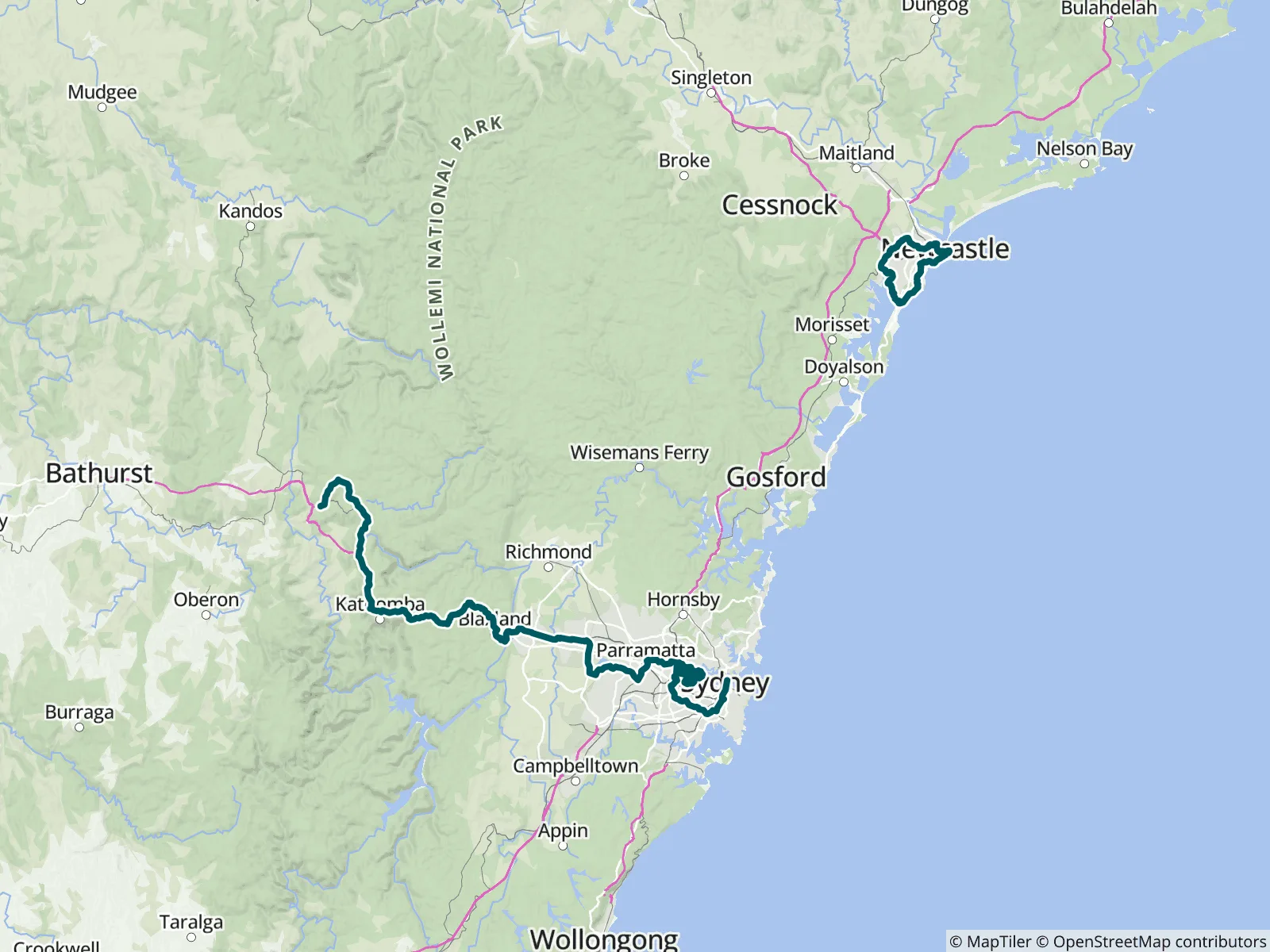
Enjoy riding in Sydney with stunning views of Sydney Harbour and the Blue Mountains. Catch a ferry or train and ride to Newcastle along the Pacific Coast. Newcastle has magnificent coastal views too! Sydney and Newcastle are developing cycling paths and trails. The MAP NSW Sydney and Newcastle Best Rides Network links these trails with the quietest roads available. Route: hilly, medium, Unsealed/Sealed, Paths/Quiet roads.
Hilly, Medium, Unsealed/Sealed, Paths/Quiet roads,
Enjoying riding in Sydney with stunning views of Sydney Harbour and the Blue Mountains. Catch a ferry or train and ride to Newcastle along the Pacific Coast.
Newcastle has magnificent coastal views too!
Sydney and Newcastle are developing cycling paths and trails. The MAP NSW Sydney and Newcastle Best Rides Network links these trails with the quietest roads available.
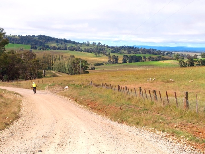
The trails we have selected are away from the traffic and are flat or gentle climbs. These trails are ideal for the family and travelers who enjoy seeing countryside at a gentle pace. We are in the process of adding more rail trails, cycle paths and their extensions. They will be free to upload once you have purchased the app.
Check out paths or rail trails near to your accommodation or your caravan. Or search for options around Sydney and Newcastle.
Plan your own tour.
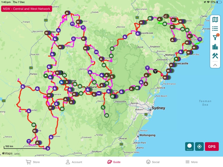
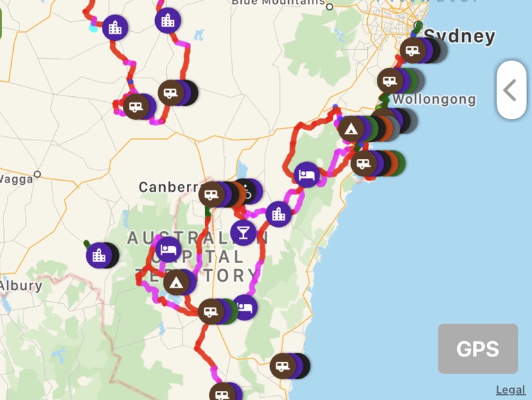
Before your journey, use icon filters to find accommodation and caravan options and food stops along the way. As you are travelling along, know when the next Cafe is coming up and enjoy the history and points of interest. The FarOut app gives you all the information you need for the journey you plan: navigation, elevations, food, water, distances, train station and more. Get an overview and feel of trail by checking the waypoint photos along the route.
For a pre-planned walk or ride, choose one of our selected routes. Or Create your own journey with the FarOut Custom Route feature. To learn how - Google search FarOut Custom Route".
Thank you to John Fuller for mapping the rides, providing the waypoints descriptions and photos.
Copyright Active Wayz Pty. Ltd