West Virginia • 78 miles
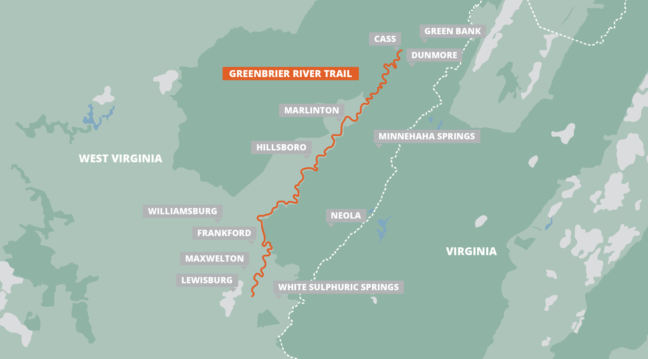
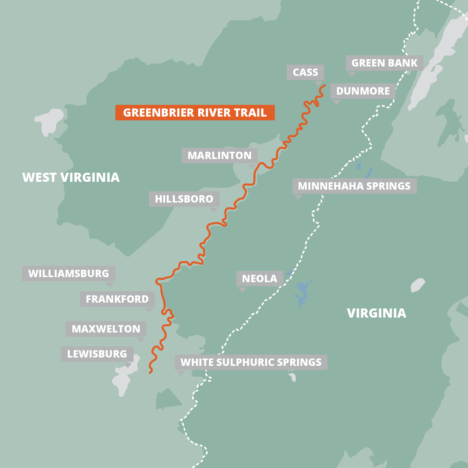
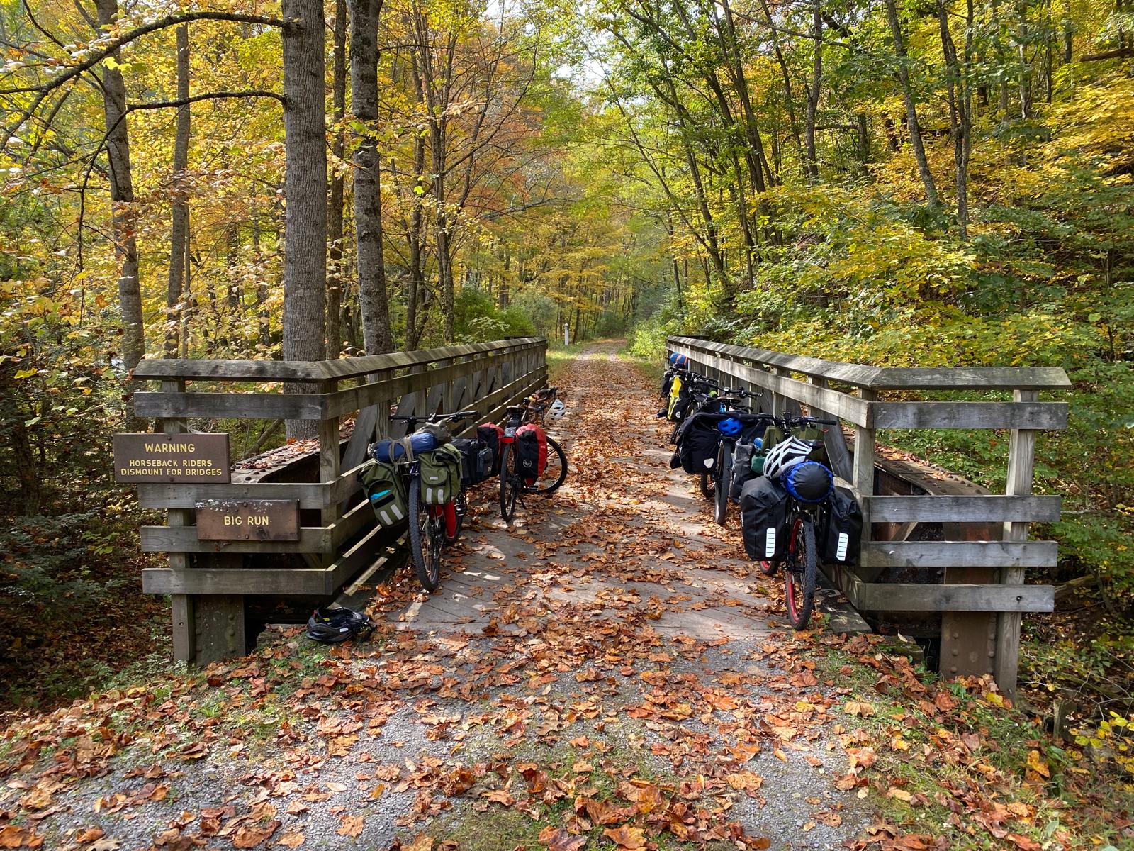
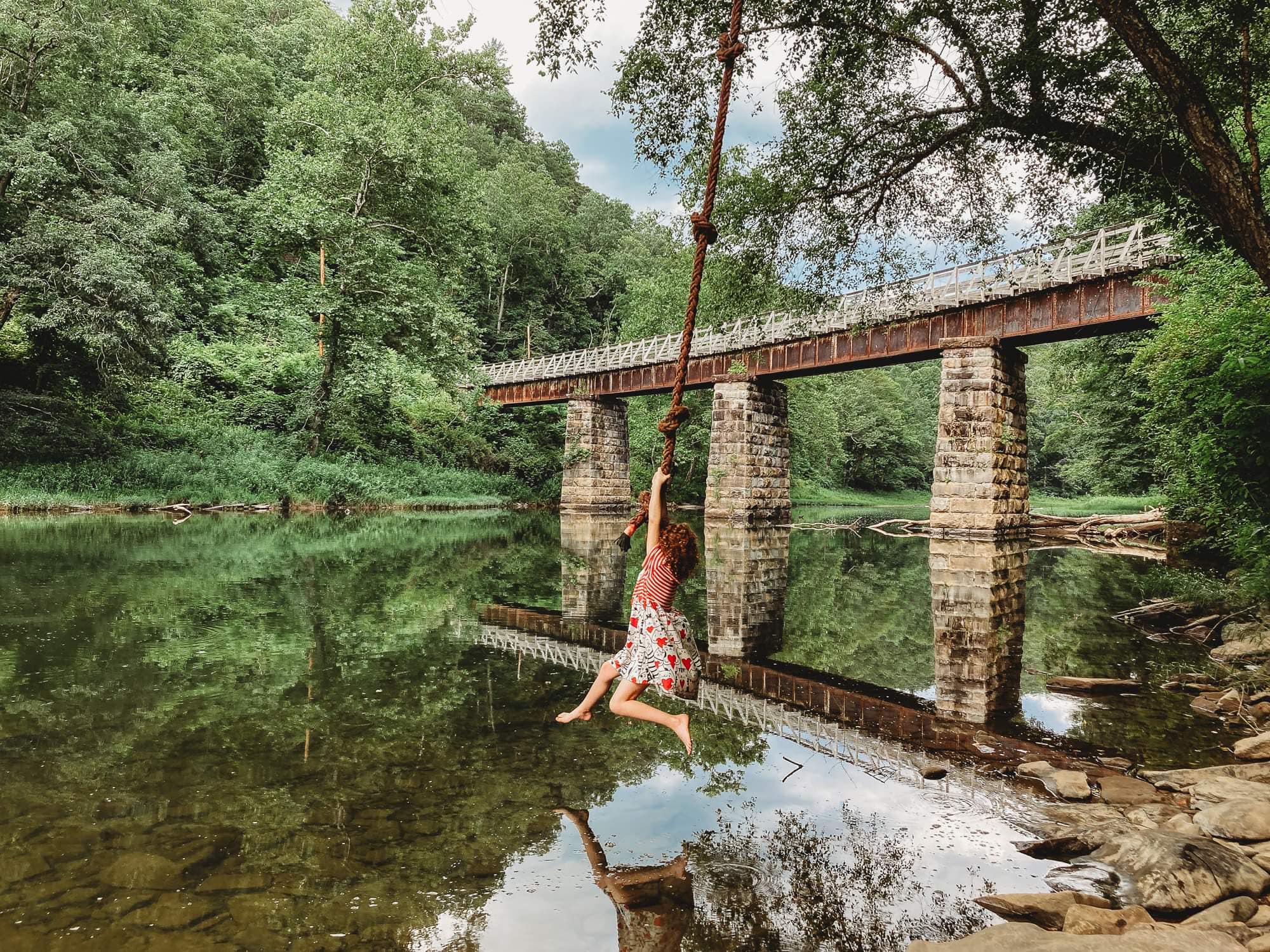
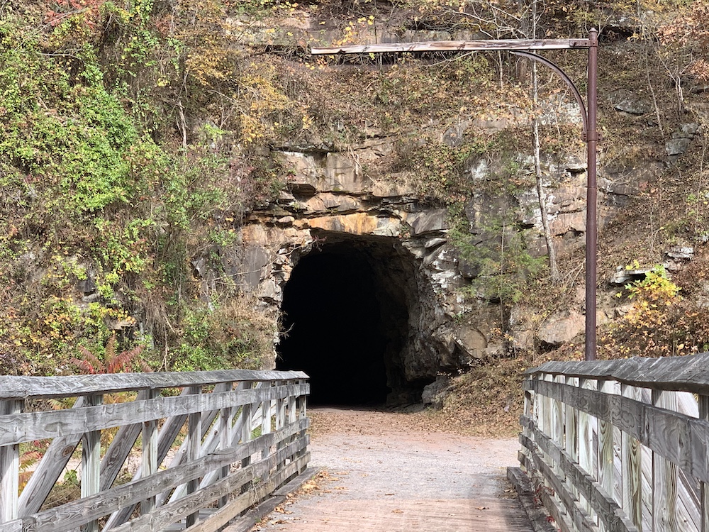
Stretching 78 miles through the stunning landscapes of West Virginia, the Greenbrier River Trail offers an unforgettable outdoor experience for hikers, bikers, and nature lovers alike. This rail-trail features 37 picturesque bridges and two spectacular tunnels: the 402-foot-long Droop Mountain Tunnel, built in 1900, and the 511-foot-long Sharps Tunnel, constructed in 1899.
The trail gently descends from Cass Scenic State Park in Pocohantas County (elevation 2,688 feet) to Caldwell in Greenbrier County (elevation 1,696 feet), making it accessible for adventurers of all skill levels. With its tranquil riverside views, rich history, and abundant wildlife, the Greenbrier River Trail is your gateway to the beauty of West Virginia’s outdoors.
$9.99

Buy Once, Works Everywhere

Works Offline

Trusted Trail Data

Detailed Waypoints

Built for Community

Tailored to You


Included in purchase
Stretching 78 miles through the stunning landscapes of West Virginia, the Greenbrier River Trail offers an unforgettable outdoor experience for hikers, bikers, and nature lovers alike. This rail-trail features 37 picturesque bridges and two spectacular tunnels: the 402-foot-long Droop Mountain Tunnel, built in 1900, and the 511-foot-long Sharps Tunnel, constructed in 1899.
The trail gently descends from Cass Scenic State Park in Pocohantas County (elevation 2,688 feet) to Caldwell in Greenbrier County (elevation 1,696 feet), making it accessible for adventurers of all skill levels. With its tranquil riverside views, rich history, and abundant wildlife, the Greenbrier River Trail is your gateway to the beauty of West Virginia’s outdoors.
$9.99
Explore

About Our Partner
The Greenbrier River Trail (GRT) has two “Friends” groups dedicated and actively engaged in promoting, preserving and improving the Trail. First, the Greenbrier River Trail Association (GRTA) that has been in existence for more than 40 years and was largely responsible for establishing the Trail. In June 2020, the Greenbrier River Trail Foundation (GRTF) was formed by members of GRTA. By creating a state park foundation, GRTF has access to WV State Park matching grant funds used to expand Trail improvement projects.
GRTF and GRTA share the same governance, Board structure, officers, bylaws and operations. Both groups are dedicated to fostering trail health and vitality and work closely with the WV Division of Natural Resources (DNR) which oversees regular maintenance, grant and volunteer opportunities, and annual trail events. The primary difference between GRTA and GRTF is that GRTA has the opportunity to conduct advocacy activities to include educating, relationship building, organizing, coalition building, communicating and occasional lobbying. Finally, both groups are 501(c)(3) organizations and continue to support the needs of the GRT.
Related Trail Guide
The trail is a 311-mile north-south trail with its northern terminus on the Mason-Dixon Line at the Pennsylvania-West Virginia border near Bruceton Mills. It winds its way south until it meets the Appalachian Trail on Peters Mountain at the Virginia-West Virginia border. Volunteer workers (with crucial assistance from U.S. Forest Service and State Park staff) maintain all sections of the trail, which is marked by 2″x 6″ yellow blazes.


