315 km / 196 miles • South Australia
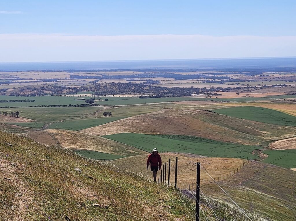
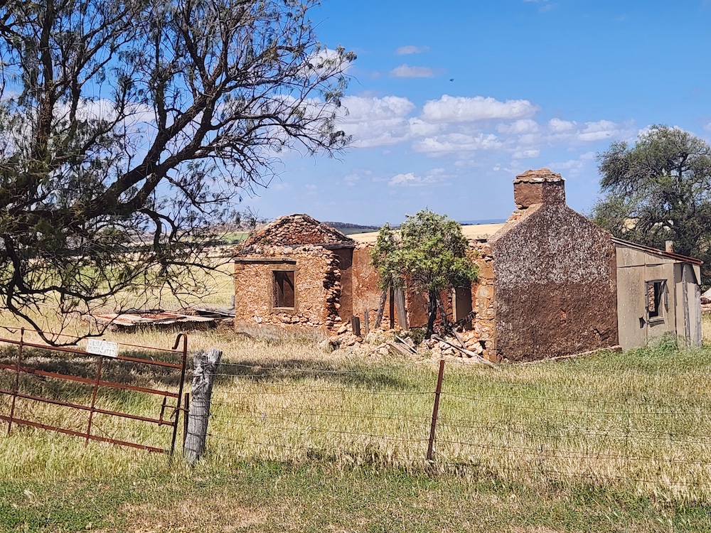
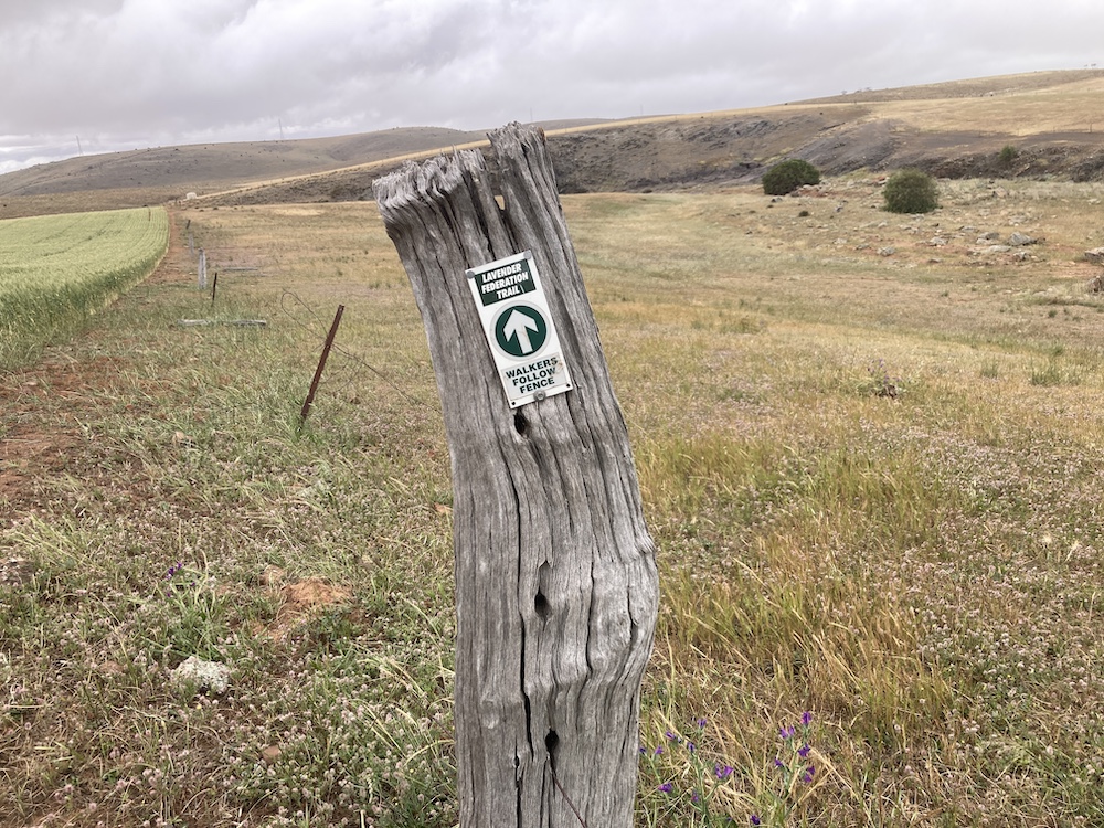
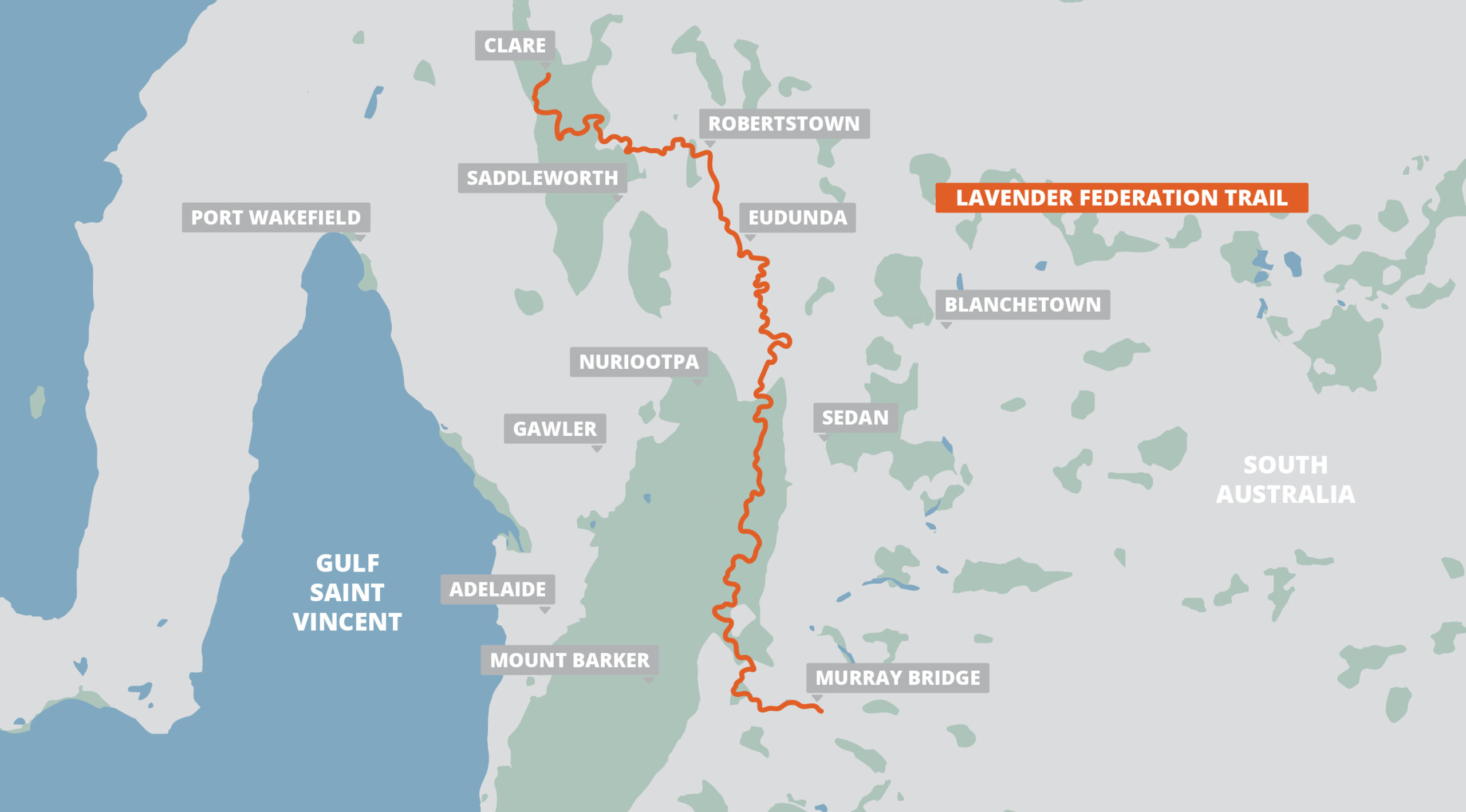
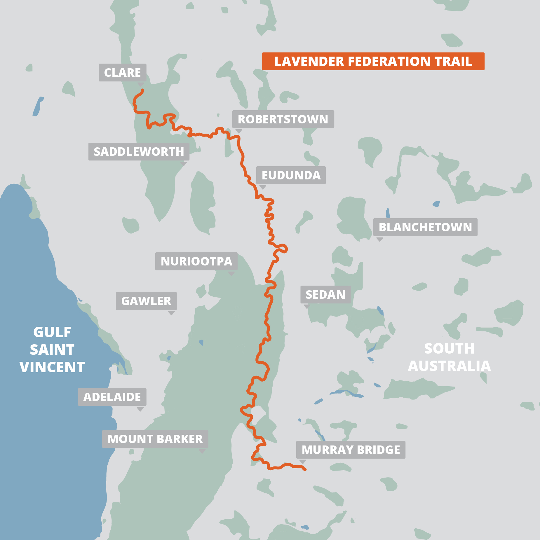
The 315-km Lavender Federation Trail is a hiking trail in South Australia, just east of Adelaide. It was built to celebrate the centenary of the 1901 Federation of Australia and named in honor of the memory of Terry Lavender OAM, whose vision and leadership resulted in this scenic and historic trail that stretches between the towns of Murray Bridge and Clare. The trail is isolated and passes through diverse country along the flanks of the Eastern Mount Lofty Ranges. It has spectacular views as it passes across the Adelaide Hills and Murray River plains and through quiet farming hamlets.
USD$5.99 / AUD$9.99
315 km / 196 miles • South Australia
The 315-km Lavender Federation Trail is a hiking trail in South Australia, just east of Adelaide. It was built to celebrate the centenary of the 1901 Federation of Australia and named in honor of the memory of Terry Lavender OAM, whose vision and leadership resulted in this scenic and historic trail that stretches between the towns of Murray Bridge and Clare. The trail is isolated and passes through diverse country along the flanks of the Eastern Mount Lofty Ranges. It has spectacular views as it passes across the Adelaide Hills and Murray River plains and through quiet farming hamlets.
USD$5.99 / AUD$9.99

Buy Once, Works Everywhere

Works Offline

Trusted Trail Data

Detailed Waypoints

Built for Community

Tailored to You




Included in purchase
The 315-km Lavender Federation Trail is a hiking trail in South Australia, just east of Adelaide. It was built to celebrate the centenary of the 1901 Federation of Australia and named in honor of the memory of Terry Lavender OAM, whose vision and leadership resulted in this scenic and historic trail that stretches between the towns of Murray Bridge and Clare. The trail is isolated and passes through diverse country along the flanks of the Eastern Mount Lofty Ranges. It has spectacular views as it passes across the Adelaide Hills and Murray River plains and through quiet farming hamlets.

About Our Partner
Robert Mosley and Angela Mosley are FarOut AUS NZ, managing FarOut’s hiking and cycling trail content in Australia and New Zealand. Since 2016, they’ve helped adventurers explore long-distance trails, rail trails, cycle paths, and bushwalks with confidence. Their Cycling Networks highlight rideable backcountry roads with cyclist-specific details, allowing users to build routes based on their riding style. Whether you’re hiking and cycling in Australia or tramping in New Zealand, FarOut AUS NZ helps you explore with local insight and ease.