-
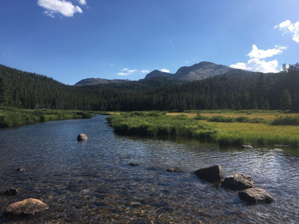
![A shallow, clear river winds through a meadow in front of an impressive mountain range.]()
Wind River Peak
After the NOLS course, I went back out to the mountains to climb Wind River Peak. At 13,192 feet, it is the highest in the southern part of the range.
-
![A brilliant yellow and orange sunset appears from behind a snowy mountain. Picture taken while traveling to Tumbledown Pond.]()
Winter Solo on Tumbledown
The plan: hike to Tumbledown Pond and camp. The difficulty: almost nobody attempts Tumbledown in winter.
-
![A trail cuts through rolling hills and green farmland on the Appalachian Trail in Virginia. Picture taken while AT mapping.]()
Southern Virginia AT Mapping
We hiked into Virginia’s Mount Rogers National Recreation Area, one of the most-hiked parts of the AT in the south.
-
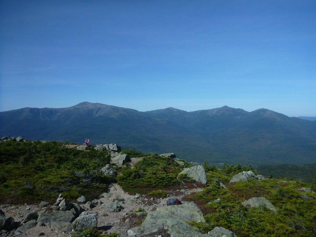
![A view from Mount Hight, looking at the Presidential Range of the White Mountains National Forest.]()
Wild River Wilderness Backpacking Loop
I met up with Philip and Steve for a two-night backpacking trip through one of the wildest regions of the White Mountains.
-
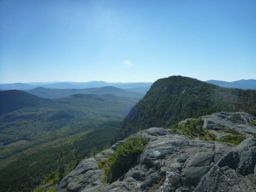
![A view shows a distant mountain range and a nearby rocky mountain covered in green trees.]()
Tumbledown Mountain Double-Loop
I hiked two full loops in the Tumbledown range, a day hike that was lot more punishing and rewarding than I thought.
Loading posts...