
Caught in 100 MPH Winds on Mount Washington: An AT Hiker's Story
Cindy Barbour is a 2026 FarOut Scout
Some of the worst days begin bright and sunny. June 20, 2025, was no exception.
I was a section hiker on the Appalachian Trail, which means I drove long distances from North Carolina, put one foot in front of the other, and slowly clicked off the miles toward my bucket-list goal of completing the AT.
Most Appalachian Trail hikers start in Georgia but I wanted to make sure that I enjoyed hiking. My husband and I drove 2.5 hours from home to Grayson Highlands State Park. The park was only two and a half hours from our home at the time, and by piecing together a few auxiliary trails, we managed to hike a whopping 6.5 miles on the AT.
Compared with the trail’s nearly 2,200 miles, that distance was nothing. But I smiled for days thinking about the journey ahead.
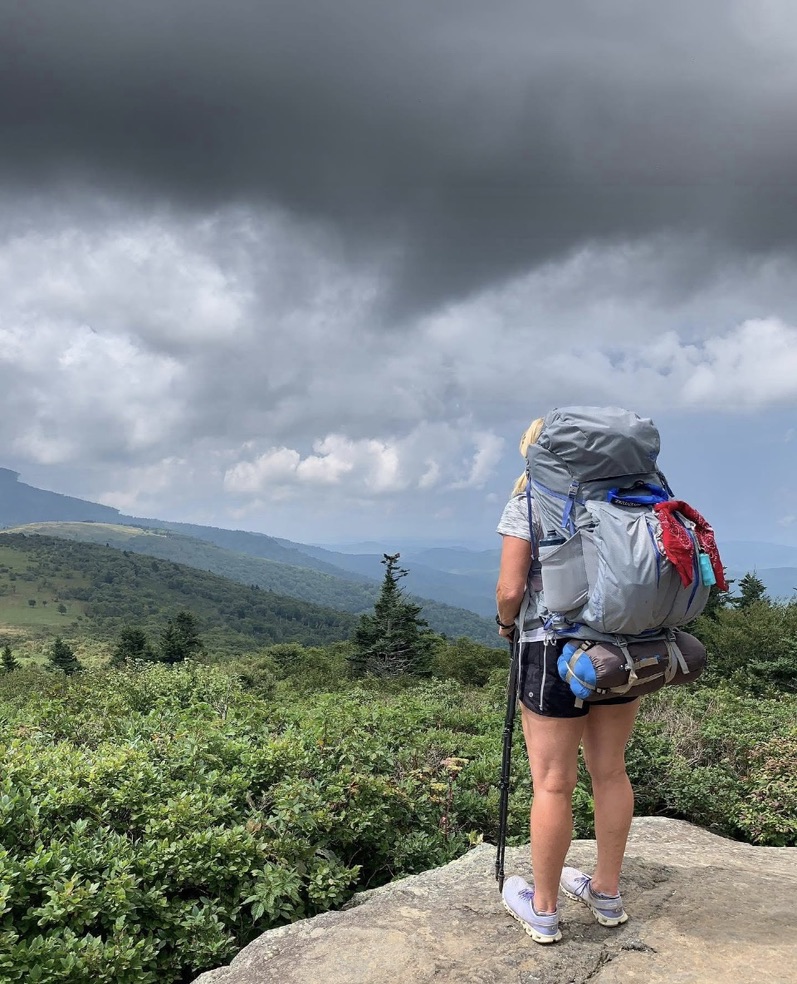
The years passed, and the miles added up. I completed sections alone, with my husband, with friends, and with people who were completely new to the trail. Along the way, I absorbed everything I could from books, YouTube videos, experienced hikers, and wilderness-training guides. I learned which plants were edible, which ones needed to be cooked, and how to find my way back to the trail if I got lost. I also read plenty of books about trail disasters. It was either good advice or a headful of tragic scenarios. One of the best tools I discovered was the FarOut app.The app includes descriptions of the trail, exact locations, water updates, and comments from other hikers.
The connector trail leading to the AT briefly followed a creek with several waterfalls before beginning a significant climb toward Mount Washington in New Hampshire. The views were breathtaking, but I did not linger. Clouds were rolling in, and weather in the White Mountains can change quickly.
I wore a long-sleeved technical shirt that kept me covered but still visible. At one point, I climbed a wooden ladder built directly into the rocks. I always wonder how trail crews carry all their tools and lumber into such remote places.
As I climbed, the sky grew darker.
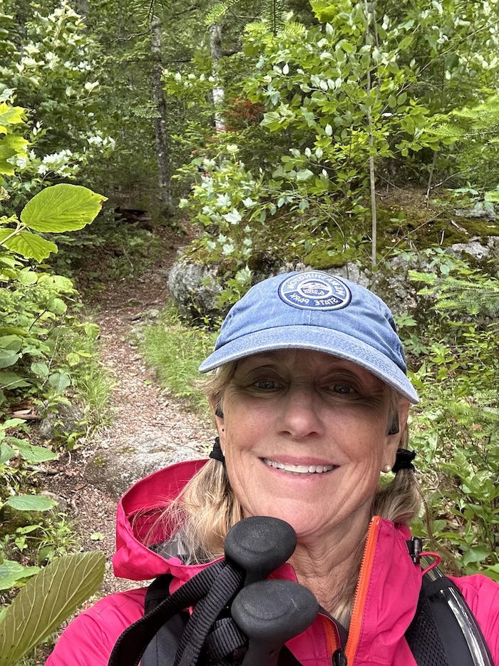
Photo provided by Cindy Barbour
When I reached the Appalachian Mountain Club hut, I stopped to refill my water and use a real bathroom. The staff was incredibly kind, but they strongly discouraged me from continuing. A storm was coming, they said, and it would bring dangerously high winds. The wind gusts on Mount Washington that day were recorded at 124mph.
The problem was that my only vehicle was parked at the end of my hike.
My hiking partner had dropped me off at the starting point, driven our van to the end, and then rode his bike more than 60 miles back to the Airbnb where we were staying. If I remained at the hut or turned around, I’d be stranded.
So I pressed on.
I started jogging, hoping to cover as much distance as possible before the storm arrived. I had the clothing and gear I needed for bad weather, and I am a seasoned endurance athlete. What I didn’t understand was what winds approaching 124 miles per hour would actually feel like.
By 2 p.m., the sustained winds were around 100 miles per hour.
I could barely move forward. I crouched low and used boulders and rocks to block the wind whenever possible. There were many exposed areas across Mount Eisenhower, Mount Pierce, and Mount Jackson. When the mountain opened onto narrow, unprotected sections of trail, I sometimes crawled because I was afraid the wind would knock me off the mountain.
About ten miles into the hike, I found a young man huddled behind a rock and crying. I asked if he was hurt.
He was not an experienced hiker, and fear had completely taken over. He had just activated the emergency SOS button on his Garmin InReach.
I immediately went into mom mode.
I asked if he wanted me to help him get down the mountain and offered to take him to his car. He’d been headed toward the hut to spend the night, but I told him the conditions behind me were even worse. He agreed to come with me.
After canceling the SOS request, he received several calls from emergency responders confirming that he was safe and no longer needed a rescue. During one of those calls, he explained that a “nice old lady” was helping him down the mountain.
He meant no disrespect.
I think.
I led the way, and fortunately, we soon began descending into the woods, where the trees gave us some protection from the wind. He was the father of two young children, and I kept him talking for most of the descent to help him and myself stay calm.
We eventually reached my vehicle near the Webster Cliff Trailhead in Crawford Notch State Park. I drove him back to his truck. Before we parted, we hugged and thanked each other.
That day reminded me that almost any kind of weather can develop when you’re hiking through changing elevations. You have to prepare, pay attention, and respect what the mountain is telling you.
It also reminded me that sometimes you have to push your own fear aside long enough to help another person through theirs.
On June 5, 2026, I completed the entire Appalachian Trail by summiting Mount Katahdin.
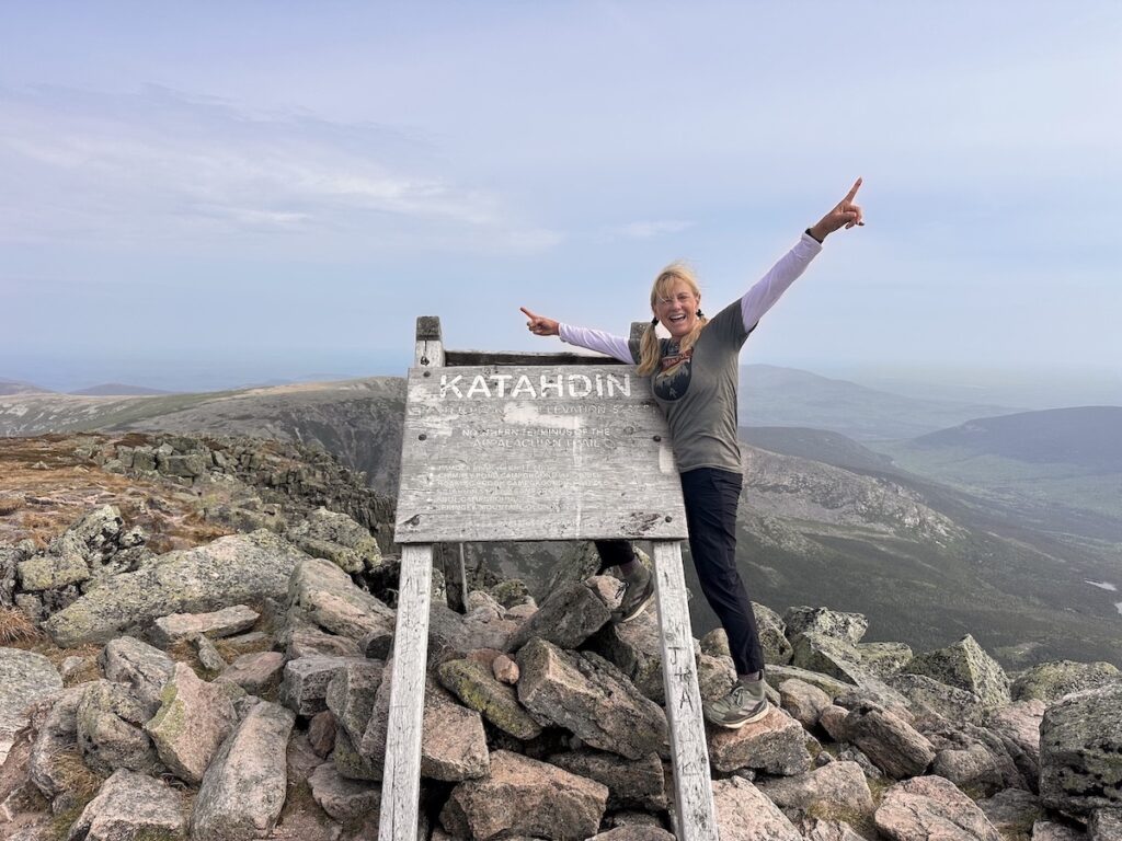
Photo provided by Cindy Barbour
Respect the trail.
Respect Mother Nature.
Respect your own abilities and limitations.
And start planning your next hike.