After finishing the NOLS course in the Wind River Range I decided to go back. I went back with a college friend to climb a peak we had passed by on the course. Wind River Peak, at 13,192 feet, is the highest peak in the southern portion of the Wind River Range. It was a prominent landmark for the first several days of the NOLS course as we walk below it.
The topo map shows the ascent to the summit. It is amazingly straightforward from the northeast along a feature I heard referred to as “The Ramp.” I’m sure you can guess what that is by the map snippet below.

It was a straightforward hike, but certainly not an easy one, especially as we brought our packs up and over the peak, dropping down the south side of the mountain to Tayo Lake.
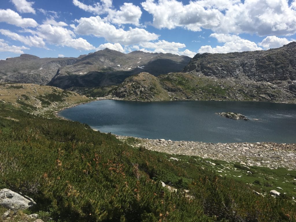
The descent was also fairly simple, if time-consuming due to picking our way across boulder fields for a few miles. We were rewarded at the end of the descent with the icy waters of Tayo Lake, and a freshly-maintained trail heading down to the valley. A volunteer crew from the Sierra Club was on a work trip for the week, which certainly helped speed up the end of the day for us.
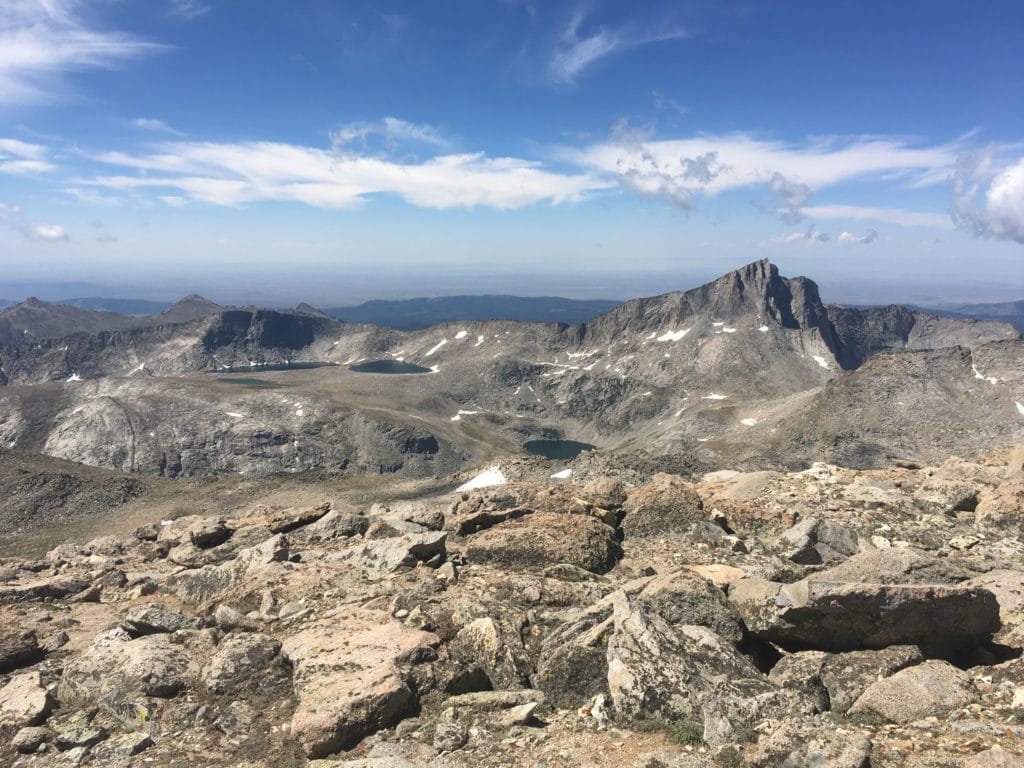
I’ll let the pictures do the rest of the talking here, since as I write this I’m still getting adjusted to life at home after all that time in the mountains. From the summit, there are plenty of views across much of the range, and I could see plenty of places I know I’ll have to visit again later.

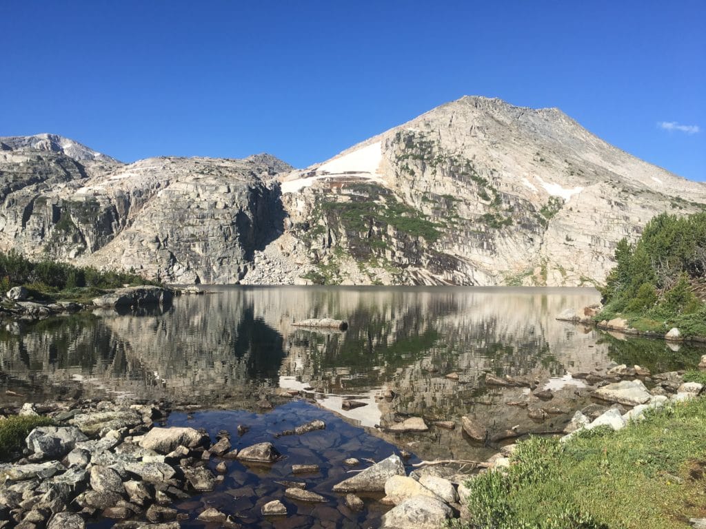
Second Deep Creek Lake at the base of Wind River Peak.
Photo by Ryan Linn

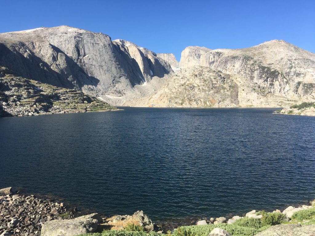
Third Deep Creek Lake below the cliffs of Wind River Peak.
Photo by Ryan Linn

Temple Mountain and Frozen Lakes from the summit of Wind River Peak.
Photo by Ryan Linn

Tayo Lake from the long descent of Wind River.
Photo by Ryan Linn
Want to keep up with all things FarOut?