My Trail Story by PYT
Trail Name: PYT
Currently Hiking: Appalachian Trail NoBo
Started hiking March 11, 2019
My Trail Story by PYT (Dave Mizelle)
We were about to enter the Roan Mountain / Roan Highlands section of our AT thru-hike. The weather was looking very questionable, but we hoped to break camp early enough to beat one of the storms, and hopefully be on the other side of the Highlands when round two came through. They were calling for rain and thunderstorms for both. That night we had been monitoring the weather hourly to get a game plan set.
perhaps we dodged a bullet
Waking up at 5am the next morning, you could hear the wind had really picked up, but otherwise looked good. We packed up quickly, and made our way for Roan Mountain, which has an elevation of over 6,200 feet. The climb was strenuous, but the weather worked in our favor, save some rain squalls. No big storm yet — perhaps we dodged a bullet. After a long descent, we exited onto Carver’s Gap. Since the vegetation and forest is so thick on Roan Mountain, we didn’t have to deal with the wind.
Appalachian Trail Guide
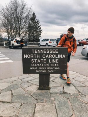
Photo by Dave Mizelle
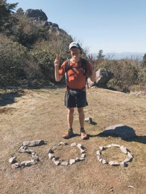
Photo provided by Dave Mizelle
Upon exiting into the Gap, we were nearly knocked off our feet in the middle of the road. Winds 40-50 mph with gusts to over 60 mph welcomed us to the Highlands. The temperature had dropped 15 degrees. At this point, with no thunderstorms, we decided to make a go for it. It was early in the day still, around 1pm, and our goal was to make it six miles to the Overmountain Shelter. The Balds on Roan are well over 5,000 ft, with long stretches of exposure to the elements. Halfway across Round Bald, we were greeted with sleet on top of the pulverizing winds.
Visibility was down to about 75 feet
At this point we second-guessed our decision. Should we have gotten off the mountain at Carvers Gap? We were well prepared gear-wise, but what would come in the next two hours would absolutely drain us physically and mentally. Sleet felt like knives on our faces. Trekking poles were mandatory, otherwise we’d be knocked over. Visibility was down to about 75 feet. I was worried, and being in front, kept looking back at my hiking partner every few minutes, and saw her flailing at times. At one point we decided to just run — it was our only instinct.
After what felt like eternity
I had never felt so hopeless. The mountain was having its way with us. After what felt like an eternity, we finally descended into the tree line, caught our breath, and tried to put into words what just happened. But cold was starting to set in, so we needed to keep moving. Had thunder and lightning been in play, we would have never, ever attempted to cross those Balds. Was it risky to cross in the conditions we were faced with? Yes. But at the end of the day, it was more of an inconvenience than anything else.
It’s important to stay on top of the weather situation, not once a day, but multiple if possible. The higher elevations are a different beast because things can change so quickly and sometimes for the worst. Had we been ill-prepared, it could have been a very different story. We made it out safely, just cold and wet, but with some good stories to tell. I can say just thinking about that day makes me want to warm up by a fire!
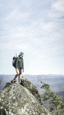
Photo provided by Dave Mizelle